
Elevation 163 m Local time Thursday 10:09 AM | Time zone IST (UTC+5:30) Population 4,041 (2001) | |
 | ||
Weather 24°C, Wind SW at 2 km/h, 45% Humidity | ||
Devotional video gokul darshan anchor nisha
Gokul is a municipality (or nagar panchayat) in the Mathura district of the Indian state of Uttar Pradesh. It is located 15 km south-east of Mathura. Hindus believe that Lord Krishna spent his childhood in Gokula. Also refer to the Krishna Charit Manas.
Contents
- Devotional video gokul darshan anchor nisha
- Map of Gokul Mahaban Bangar Uttar Pradesh
- Mathura gokul
- Geography
- Demographics
- Location
- References
Map of Gokul, Mahaban Bangar, Uttar Pradesh
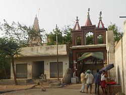
Mathura gokul
Geography
Gokul is located at 27.45°N 77.72°E / 27.45; 77.72. It has an average elevation of 163 metres (534 feet).
Demographics
As of 2001 India census, Gokul had a population of 4041. Males constitute 55% of the population and females 45%. Gokul has an average literacy rate of 60%, higher than the national average of 59.5%: male literacy is 68%, and female literacy is 49%. In Gokul, 18% of the population is under 8 years of age.
Location
Gokul is located at 27.45°N 77.72°E / 27.45; 77.72. It has an average elevation of 163 metres (534 feet).