
Local time Thursday 6:10 AM | Elevation 397 m Number of airports 1 | |
 | ||
Weather 29°C, Wind NE at 6 km/h, 14% Humidity | ||
Morning meeting in gogrial south sudan
Gogrial, or Qaqriyal, is a town in South Sudan.
Contents
- Morning meeting in gogrial south sudan
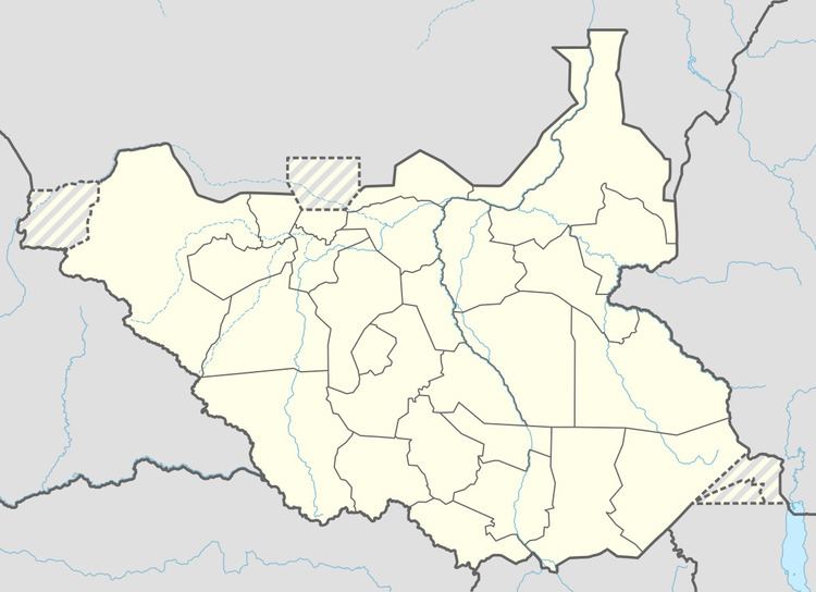
- Map of Gogrial South Sudan
- Painful caterpillar gogrial south sudan
- Location
- Overview
- Population
- Points of interest
- References
Map of Gogrial, South Sudan
Painful caterpillar gogrial south sudan
Location
Gogrial is located in Kuac South County, Gogrial State, close to the borders with the Republic of Sudan and the Abyei region. This location lies approximately 700 kilometres (430 mi), by road, northwest of Juba, the capital and largest city in that country. The coordinates of Gogrial are: 8° 31' 48.00"N, 28° 6' 0.00"E (Latitude: 8.5300; Longitude: 28.1000).
Overview
Gogrial, like most South Sudanese towns, sits on a riverbank. The Jur River flows north, then turns east, about 5 kilometres (3.1 mi) to the east of the central business district of the town. This town is one of two places where former NBA player Manute Bol was reported to have been born, with some reports saying he was actually born in Turalei, where his remains were buried.
Population
As of July 2011, the exact population of Gogrial is not known. However, it is estimated that the human population within a radius of 7 kilometres (4.3 mi), from the center of town, is approximately 44,600.
Points of interest
The points of interest in or near the town of Gogrial include the following: