
Local time Thursday 2:59 AM | ||
 | ||
Weather 8°C, Wind S at 11 km/h, 93% Humidity | ||
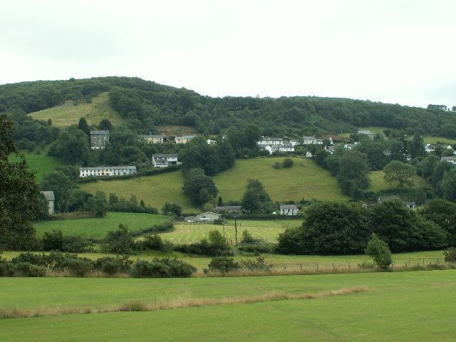
Goginan is a small village in Ceredigion, about 7 miles outside Aberystwyth on the A44 between Ponterwyd and Capel Bangor. The Afon Melindwr runs through the village, and is a tributary of the Afon Rheidol.
Contents
Map of Goginan, Aberystwyth, UK
The village originally grew around farms in the area, but increased with the development of local mines.
To the east of the villages lies a Grade II Listed 19th century house thought to be associated with the lead mines in the area; it is probably the Goginan mine manager's house. Cadw Building ID: 9857.
References
Goginan Wikipedia(Text) CC BY-SA