
Population 1,644 (2011 census) Sovereign state United Kingdom Local time Thursday 1:32 AM | OS grid reference SN751069 Country Wales Postcode district SA8 Dialling code 01792 | |
 | ||
Weather 8°C, Wind SW at 6 km/h, 93% Humidity | ||
Godre r graig river walk
Godre'r Graig is a village and an electoral ward of Neath Port Talbot county borough, Wales.
Contents
- Godre r graig river walk
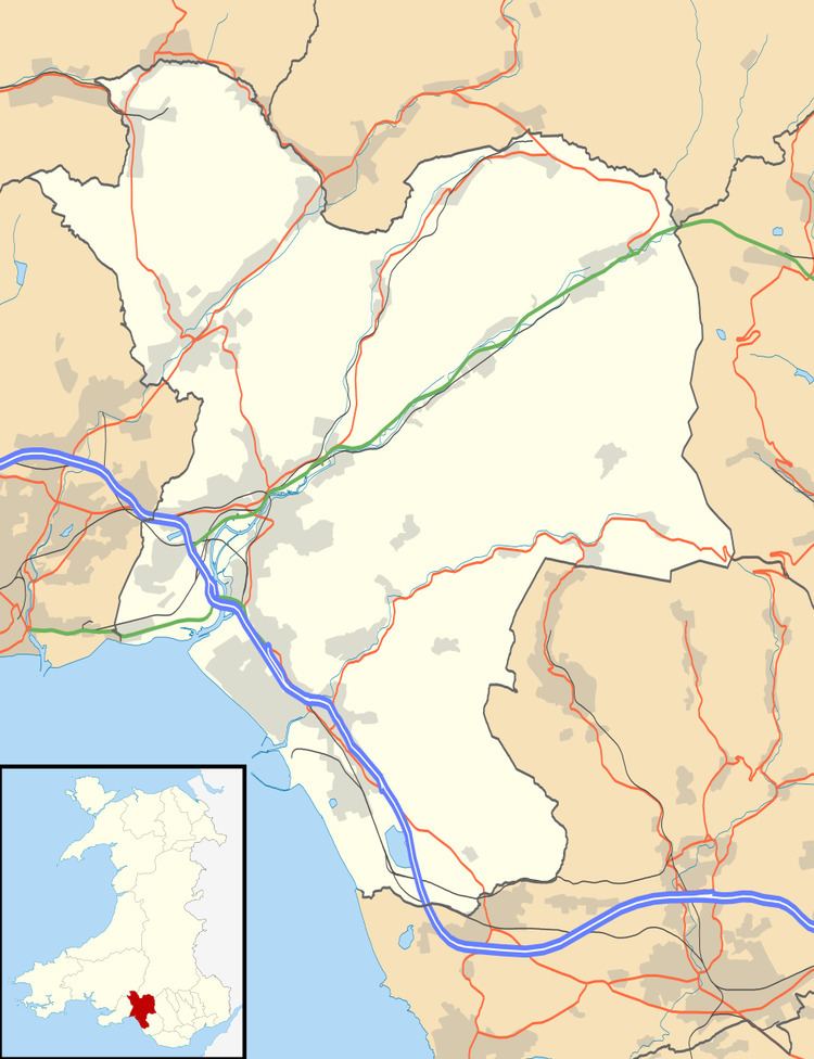
- Map of Godrergraig Ystalyfera Swansea UK
- Swansea canal society time lapse video lock exposure at godre r graigby steve walters
- Electoral ward
- References
Map of Godrergraig, Ystalyfera, Swansea, UK
The village developed alongside the coal workings at the Tarenni Colliery, which closed in 1949.
Swansea canal society time lapse video lock exposure at godre r graigby steve walters
Electoral ward
The electoral ward of Godre'r Graig forms part of the parish of Ystalyfera. It includes some or all of the settlements of Godre'r Graig, Cilmaengwyn and Pantyfynnon in the parliamentary constituency of Neath. The ward consists of a settled belt beside the A4067 road and the River Tawe in the Swansea Valley stretching from the south to the north east. The north western part of the ward consists of woodland and pasture. The ward is bounded by the wards of Ystalyfera to the north; Rhos to the southeast; and Pontardawe to the west.
In 2008 the community came together at a public meeting held in the local primary school regarding the long neglected park. As a result Godre'r Graig Community Association (GCA) was formed to provide a vehicle for the community to take charge of the park and bring it back into use.
In the 2012 local council elections, the electorate turnout was 43.81%. The results were: