
Postcode(s) 2720 County Wynyard Elevation 308 m Postal code 2720 | Local time Thursday 10:07 AM | |
 | ||
Location 9 km (6 mi) from Tumut26 km (16 mi) from Gundagai Weather 26°C, Wind N at 5 km/h, 69% Humidity | ||
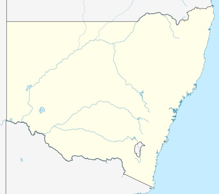
Gocup is a town community in the central east part of the Riverina and situated about 9 kilometres (5.6 mi) north from Tumut and 26 kilometres (16 mi) south from Gundagai on the Gundagai to Tumut Road.
Map of Gocup NSW 2720, Australia
Gocup Post Office opened on 21 October 1885 and closed in 1959.
References
Gocup, New South Wales Wikipedia(Text) CC BY-SA