
Postal code 5740 Area 481.7 km² | Time zone BST (UTC+6) Website Gobindaganj | |
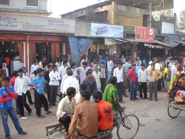 | ||
Two bodies found in gaibandha s gobindaganj
Gobindaganj (Bengali: গোবিন্দগঞ্জ) is an Upazila of Gaibandha District and the Division of Rangpur. It is one of the largest upazila in Bangldesh including 18 union's.
Contents
- Two bodies found in gaibandha s gobindaganj
- Map of Gobindaganj Upazila Bangladesh
- Geography
- Demographics
- Administration
- Education
- References
Map of Gobindaganj Upazila, Bangladesh
Geography
Gobindaganj is located at 25.1333°N 89.3917°E / 25.1333; 89.3917. It has 79464 households and total area 481.66 km².
Demographics
As of the 2011 Bangladesh census, Gobindaganj has a population of 714591. Males constitute 50.89% of the population, and females 49.11%. This Upazila's adult population is 205,204. Gobindaganj has an average literacy rate of 97.1% (7+ years), and the national average of 48.4% literate.
Administration
Gobindaganj Upazila is divided into Bhabaniganj Municipality and 17 union parishads: Darbasta, Fulbari, Gumaniganj, Harirampur, Kamardaha, Kamdia, Katabari, Kochasahar, Mahimaganj, Nakai, Rajahar, Rakhal Buruz, Sapmara, Shakhahar, Shalmara, Shibpur, and Taluk Kanupur. The union parishads are subdivided into 339 mauzas and 375 villages. In terms of total area and number of unions, it is the second largest upazila in Bangladesh. It is called the nucleus of Rangpur Division. It has 13 branches of different banks and 11 colleges as well.
Education
According to Banglapedia, Gobindagonj Multilateral High School, founded in 1912, is a notable secondary school.