
Country Bangladesh District Rajbari District Area 149 km² | Division Dhaka Division Time zone BST (UTC+6) | |
 | ||
Website Official Map of Goalandaghat | ||
Goalandaghat (Bengali: গোয়ালন্দঘাট) or Goalanda is an Upazila of Rajbari District in the Division of Dhaka, Bangladesh.
Contents
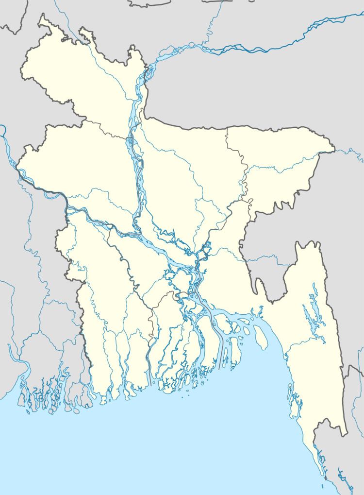
Map of Goalandaghat Upazila, Bangladesh
Geography
Goalandaghat is located at 23.7333°N 89.7611°E / 23.7333; 89.7611. It has 15,694 housing units and has a total area of 149.03 km².
Demographics
Goalandaghat had a population of 91,675 in the 1991 Bangladesh census. Males constitute 52.1% of the population, and females 47.9%. The population aged over eighteen was 44,854. Goalandaghat has an average literacy rate of 20.5% (7+ years), compared to the national average of 32.4%.
Administration
Goalandaghat has four Unions/Wards, 113 Mauzas/Mahallas, and 206 villages.
References
Goalandaghat Upazila Wikipedia(Text) CC BY-SA