Population 5,753 (2006) | County Żary Area 166.6 km² | |
 | ||
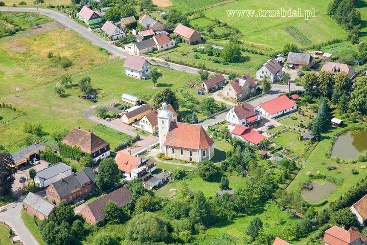
Gmina Trzebiel is a rural gmina (administrative district) in Żary County, Lubusz Voivodeship, in western Poland, on the German border. Its seat is the village of Trzebiel, which lies approximately 22 kilometres (14 mi) west of Żary and 59 km (37 mi) south-west of Zielona Góra.
Contents
Map of Gmina Trzebiel, Poland
The gmina covers an area of 166.59 square kilometres (64.3 sq mi), and as of 2006 its total population is 5,753.
The gmina contains part of the protected area called Muskau Bend Landscape Park.
Villages
Gmina Trzebiel contains the villages and settlements of Bogaczów, Bronowice, Buczyny, Bukowina, Chudzowice, Chwaliszowice, Czaple, Dębinka, Gniewoszyce, Jasionów, Jędrzychowice, Jędrzychowiczki, Kałki, Kamienica nad Nysą Łużycką, Karsówka, Królów, Łuków, Marcinów, Mieszków, Niwica, Nowe Czaple, Olszyna, Przewoźniki, Pustków, Rytwiny, Siedlec, Siemiradz, Stare Czaple, Strzeszowice, Trzebiel, Wierzbięcin, Włostowice, Żarki Małe and Żarki Wielkie.
Neighbouring gminas
Gmina Trzebiel is bordered by the town of Łęknica and by the gminas of Brody, Lipinki Łużyckie, Przewóz and Tuplice. It also borders Germany.
