Harman Patil (Editor)

Gmina Somianka

Updated on
Edit
Like
Comment
Share on FacebookTweet on TwitterShare on LinkedInShare on Reddit
Country
  
Poland

Seat
  
Somianka

Area
  
116.4 km²

County
  
Wyszków

Voivodeship
  
Masovian Voivodeship

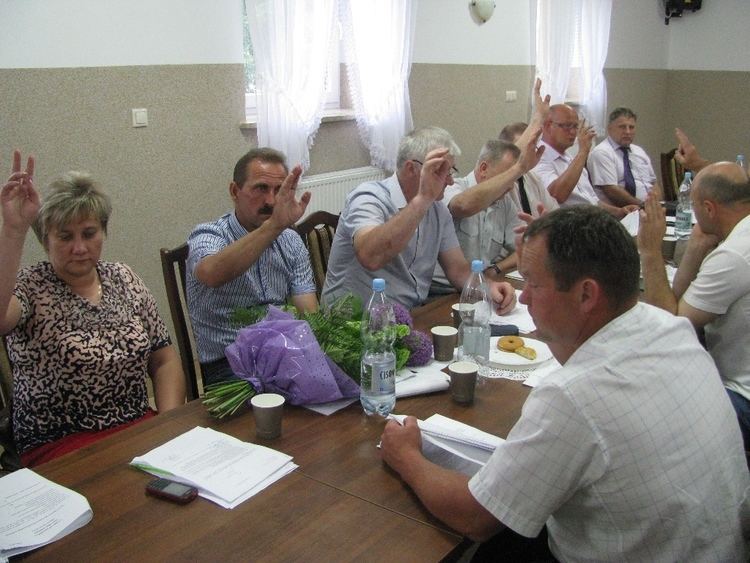
Gmina Somianka wwwsomiankaplportalimagesstories20132013062

Gmina Somianka is a rural gmina (administrative district) in Wyszków County, Masovian Voivodeship, in east-central Poland. Its seat is the village of Somianka, which lies approximately 12 kilometres (7 mi) west of Wyszków and 44 km (27 mi) north-east of Warsaw.

Contents

Map of Gmina Somianka, Poland

The gmina covers an area of 116.38 square kilometres (44.9 sq mi), and as of 2006 its total population is 5,491 (5,591 in 2013).

Villages

Gmina Somianka contains the villages and settlements of:

  • Barcice
  • Celinowo
  • Henrysin
  • Huta Podgórna
  • Jackowo Dolne
  • Jackowo Górne
  • Janki
  • Jasieniec
  • Kręgi
  • Michalin
  • Nowe Kozłowo
  • Nowe Płudy
  • Nowe Wypychy
  • Ostrowy
  • Popowo-Letnisko
  • Popowo-Parcele
  • Skorki
  • Somianka (including the sołectwos of Somianka Zaszosie and Somianka-Parcele)
  • Stare Kozłowo
  • Stare Płudy
  • Stare Wypychy
  • Stary Mystkówiec
  • Suwin
  • Ulasek
  • Wielątki Rosochate
  • Wielęcin
  • Wola Mystkowska
  • Wólka Somiankowska
  • Zdziebórz
  • Neighbouring gminas

    Gmina Somianka is bordered by the gminas of Dąbrówka, Rząśnik, Serock, Wyszków and Zatory.

    References

    Gmina Somianka Wikipedia