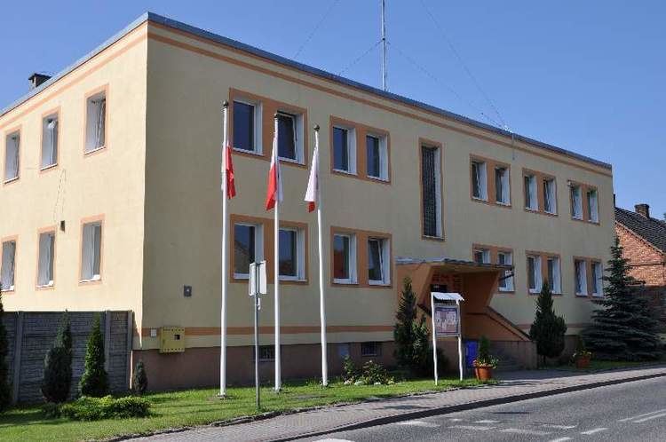
Area 181.3 km² | County Świebodzin Website www.skape.pl Population 5,195 (2011) | |
 | ||
W grzynice gmina sk pe wieto niepodleg o ci 11 11 2012
Gmina Skąpe is a rural gmina (administrative district) in Świebodzin County, Lubusz Voivodeship, in western Poland. Its seat is the village of Skąpe, which lies approximately 13 kilometres (8 mi) south-west of Świebodzin, 24 km (15 mi) north of Zielona Góra, and 67 km (42 mi) south of Gorzów Wielkopolski.
Contents
- W grzynice gmina sk pe wieto niepodleg o ci 11 11 2012
- Map of Gmina SkC485pe Poland
- Do ynki w o oboku 2013 gmina sk pe
- Villages
- Neighbouring gminas
- References
Map of Gmina Sk%C4%85pe, Poland
The gmina covers an area of 181.28 square kilometres (70.0 sq mi), and as of 2006 its total population is 5,414 (5,195 in 2011).
The gmina contains part of the protected area called Gryżyna Landscape Park.
Do ynki w o oboku 2013 gmina sk pe
Villages
Gmina Skąpe contains the villages and settlements of Błonie, Cibórz, Cząbry, Darnawa, Kalinowo, Kaliszkowice, Łąkie, Międzylesie, Niekarzyn, Niesulice, Ołobok, Pałck, Podła Góra, Przetocznica, Przetocznicki Młyn, Radoszyn, Rokitnica, Skąpe, Węgrzynice, Zawisze and Złoty Potok.
Neighbouring gminas
Gmina Skąpe is bordered by the gminas of Bytnica, Czerwieńsk, Łagów, Lubrza, Sulechów and Świebodzin.
