
Area 197.3 km² | County Łosice | |
 | ||
Gmina Sarnaki is a rural gmina (administrative district) in Łosice County, Masovian Voivodeship, in east-central Poland. Its seat is the village of Sarnaki, which lies approximately 16 kilometres (10 mi) north-east of Łosice and 129 km (80 mi) east of Warsaw.
Contents
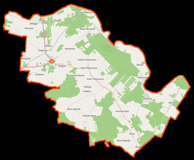
Map of Gmina Sarnaki, Poland
The gmina covers an area of 197.3 square kilometres (76.2 sq mi), and as of 2006 its total population is 5,250 (4,996 in 2014).
The gmina contains part of the protected area called Podlasie Bug Gorge Landscape Park.
Villages
Gmina Sarnaki contains the villages and settlements of Binduga, Bonin, Bonin-Ogródki, Borsuki, Bużka, Chlebczyn, Chybów, Franopol, Grzybów, Hołowczyce-Kolonia, Horoszki Duże, Horoszki Małe, Klepaczew, Klimczyce, Klimczyce-Kolonia, Kózki, Mierzwice-Kolonia, Nowe Hołowczyce, Nowe Litewniki, Nowe Mierzwice, Płosków, Płosków-Kolonia, Raczki, Rozwadów, Rzewuszki, Serpelice, Stare Hołowczyce, Stare Litewniki, Stare Mierzwice, Terlików and Zabuże.
Neighbouring gminas
Gmina Sarnaki is bordered by the gminas of Konstantynów, Mielnik, Platerów, Siemiatycze and Stara Kornica.