
Area 165.8 km² | Population 15,437 (2006) | |
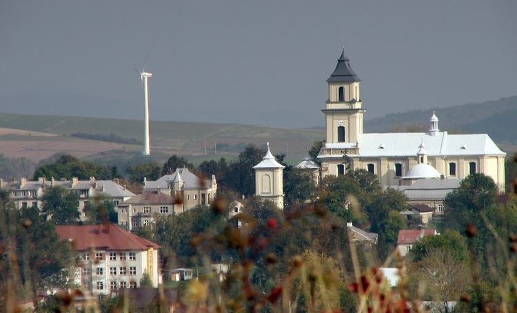 | ||
Gmina Rymanów is an urban-rural gmina (administrative district) in Krosno County, Subcarpathian Voivodeship, in south-eastern Poland. Its seat is the town of Rymanów, which lies approximately 17 kilometres (11 mi) south-east of Krosno and 53 km (33 mi) south of the regional capital Rzeszów.
Contents
Map of Gmina Ryman%C3%B3w, Poland
The gmina covers an area of 165.79 square kilometres (64.0 sq mi), and as of 2006 its total population is 15,437 (out of which the population of Rymanów amounts to 3,564, and the population of the rural part of the gmina is 11,873).
Villages
Apart from the town of Rymanów, Gmina Rymanów contains the villages and settlements of Bałucianka, Bzianka, Głębokie, Klimkówka, Królik Polski, Ladzin, Łazy, Milcza, Posada Górna, Puławy, Rudawka Rymanowska, Rymanów-Zdrój, Sieniawa, Wisłoczek, Wróblik Królewski, Wróblik Szlachecki and Zmysłówka.
Neighbouring gminas
Gmina Rymanów is bordered by the gminas of Besko, Bukowsko, Dukla, Haczów, Iwonicz-Zdrój, Jaśliska, Komańcza, Miejsce Piastowe and Zarszyn.