Population 4,813 (2006) | Area 112.5 km² | |
 | ||
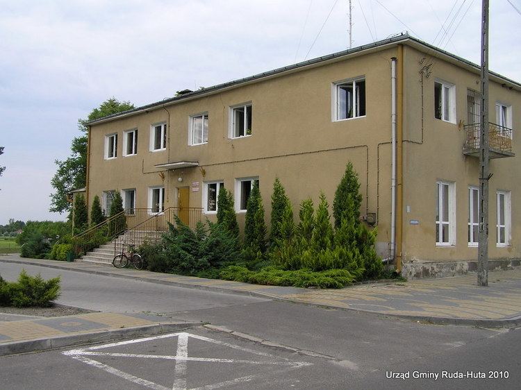
Gmina Ruda-Huta is a rural gmina (administrative district) in Chełm County, Lublin Voivodeship, in eastern Poland, on the border with Ukraine. Its seat is the village of Ruda-Huta, which lies approximately 11 kilometres (7 mi) north-east of Chełm and 70 km (43 mi) east of the regional capital Lublin.
Contents
Map of Gmina Ruda-Huta, Poland
The gmina covers an area of 112.48 square kilometres (43.4 sq mi), and as of 2006 its total population is 4,813.
Villages
Gmina Ruda-Huta contains the villages and settlements of Chromówka, Dobryłów, Gdola, Gotówka, Hniszów, Jazików, Karolinów, Leśniczówka, Poczekajka, Ruda, Ruda-Huta, Ruda-Opalin, Rudka, Żalin and Zarudnia.
Neighbouring gminas
Gmina Ruda-Huta is bordered by the gminas of Chełm, Dorohusk, Sawin and Wola Uhruska. It also borders Ukraine.
References
Gmina Ruda-Huta Wikipedia(Text) CC BY-SA
