Population 5,155 (2006) | Area 79.47 km² | |
 | ||
Voivodeship | ||
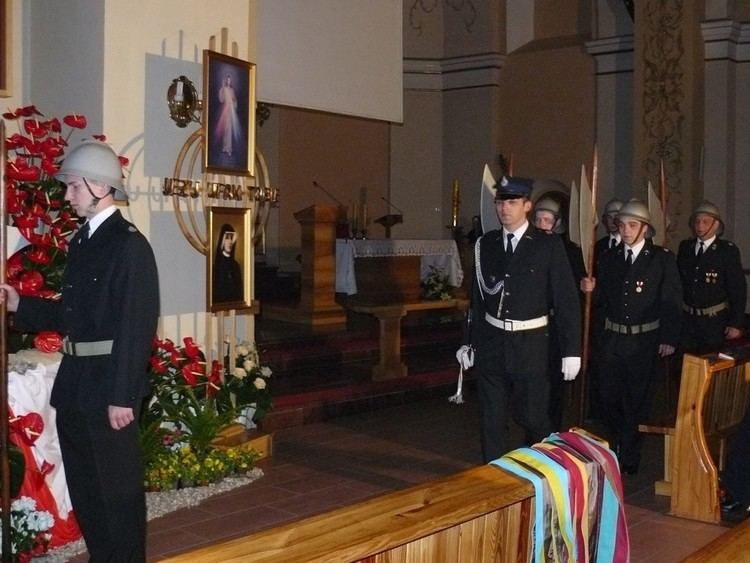
Zebranie wyborcze organ w so ectwa w budach gmina rozdra ew cz ii
Gmina Rozdrażew is a rural gmina (administrative district) in Krotoszyn County, Greater Poland Voivodeship, in west-central Poland. Its seat is the village of Rozdrażew, which lies approximately 13 kilometres (8 mi) north-east of Krotoszyn and 80 km (50 mi) south-east of the regional capital Poznań.
Contents
- Zebranie wyborcze organ w so ectwa w budach gmina rozdra ew cz ii
- Map of Gmina RozdraC5BCew Poland
- Zebranie wyborcze organ w so ectwa w budach gmina rozdra ew cz i
- Villages
- Neighbouring gminas
- References
Map of Gmina Rozdra%C5%BCew, Poland
The gmina covers an area of 79.47 square kilometres (30.7 sq mi), and as of 2006 its total population is 5,155.
Zebranie wyborcze organ w so ectwa w budach gmina rozdra ew cz i
Villages
Gmina Rozdrażew contains the villages and settlements of Budy, Chwałki, Dąbrowa, Dębowiec, Dzielice, Grębów, Henryków, Maciejew, Nowa Wieś, Rozdrażew, Trzemeszno, Wolenice, Wygoda and Wyki.
Neighbouring gminas
Gmina Rozdrażew is bordered by the gminas of Dobrzyca, Koźmin Wielkopolski and Krotoszyn.
References
Gmina Rozdrażew Wikipedia(Text) CC BY-SA
