
County Łańcut Area 66.37 km² | ||
 | ||
Website | ||
Gmina Rakszawa is a rural gmina (administrative district) in Łańcut County, Subcarpathian Voivodeship, in south-eastern Poland. Its seat is the village of Rakszawa, which lies approximately 10 kilometres (6 mi) north of Łańcut and 22 km (14 mi) north-east of the regional capital Rzeszów.
Contents
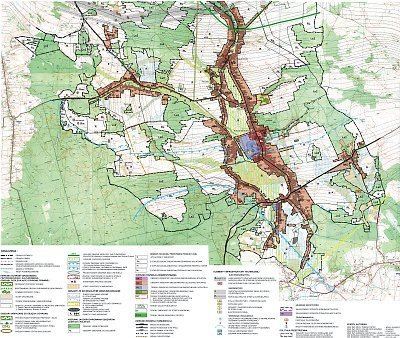
Map of Gmina Rakszawa, Poland
The gmina covers an area of 66.37 square kilometres (25.6 sq mi), and as of 2006 its total population is 7,170 (7,288 in 2011).
Villages
Gmina Rakszawa contains the villages and settlements of Kąty Rakszawskie, Rakszawa, Węgliska and Wydrze.
Neighbouring gminas
Gmina Rakszawa is bordered by the gminas of Czarna, Leżajsk, Sokołów Małopolski and Żołynia.
References
Gmina Rakszawa Wikipedia(Text) CC BY-SA