
Area 137.9 km² | Population 7,217 (2006) | |
 | ||
Voivodeship | ||
Gmina Pyzdry is an urban-rural gmina (administrative district) in Września County, Greater Poland Voivodeship, in west-central Poland. Its seat is the town of Pyzdry, which lies approximately 20 kilometres (12 mi) south of Września and 59 km (37 mi) south-east of the regional capital Poznań.
Contents
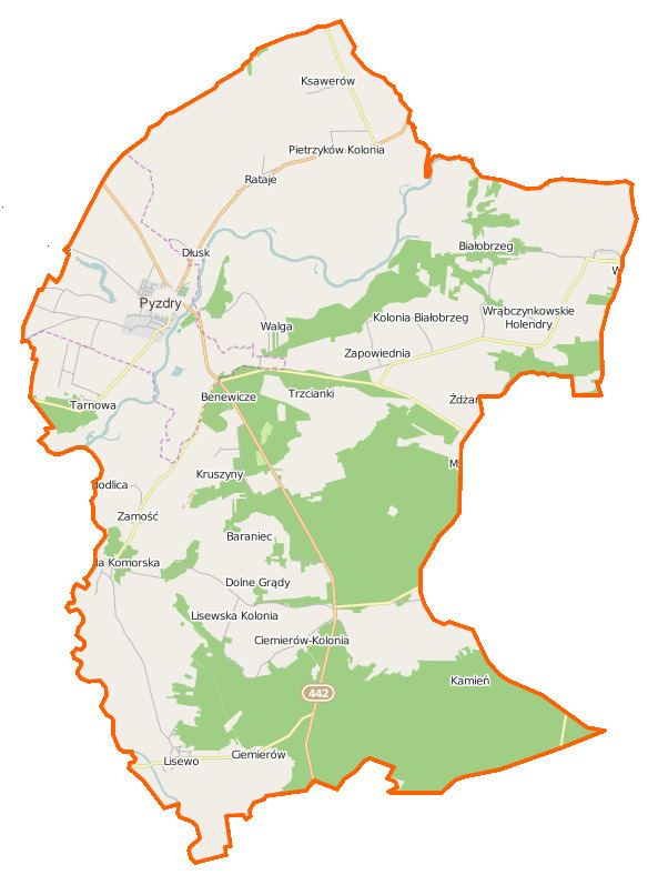
Map of Gmina Pyzdry, Poland
The gmina covers an area of 137.9 square kilometres (53.2 sq mi), and as of 2006 its total population is 7,217 (out of which the population of Pyzdry amounts to 3,188, and the population of the rural part of the gmina is 4,029).
The gmina contains part of the protected area called Warta Landscape Park.
Villages
Apart from the town of Pyzdry, Gmina Pyzdry contains the villages and settlements of Baraniec, Benewicze, Białobrzeg, Białobrzeg Ratajski, Ciemierów, Ciemierów-Kolonia, Dłusk, Dolne Grądy, Glinianki, Górne Grądy, Kamień, Kolonia Janowska, Kolonia Lisewo, Królewiny, Kruszyny, Ksawerów, Lisewo, Lisiaki, Łupice, Modlica, Olsz, Pietrzyków, Pietrzyków-Kolonia, Rataje, Ruda Komorska, Tarnowa, Tłoczyzna, Trzcianki, Walga, Wrąbczynek, Wrąbczynkowskie Holendry, Zamość, Zapowiednia, Żdżary and Zimochowiec.
Neighbouring gminas
Gmina Pyzdry is bordered by the gminas of Gizałki, Kołaczkowo, Lądek, Zagórów and Żerków.