
Area 174 km² | Population 49,887 (2006) | |
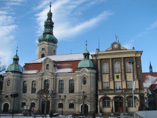 | ||
Gmina Pszczyna is an urban-rural gmina (administrative district) in Pszczyna County, Silesian Voivodeship, in southern Poland. Its seat is the town of Pszczyna, which lies approximately 30 kilometres (19 mi) south of the regional capital Katowice.
Contents
Map of Gmina Pszczyna, Poland
The gmina covers an area of 174.01 square kilometres (67.2 sq mi), and as of 2006 its total population is 49,887 (out of which the population of Pszczyna amounts to 25,621, and the population of the rural part of the gmina is 24,266).
Villages
Apart from the town of Pszczyna, Gmina Pszczyna contains the villages and settlements of Brzeźce, Ćwiklice, Czarków, Jankowice, Łąka, Piasek, Poręba, Rudołtowice, Studzienice, Studzionka, Wisła Mała and Wisła Wielka.
Neighbouring gminas
Gmina Pszczyna is bordered by the gminas of Bestwina, Bojszowy, Czechowice-Dziedzice, Goczałkowice-Zdrój, Kobiór, Miedźna, Pawłowice, Strumień and Suszec.