
Area 104.3 km² | Population 10,148 (2006) | |
 | ||
Voivodeship | ||
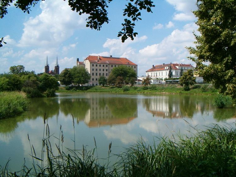
Gmina Opatówek is a rural gmina (administrative district) in Kalisz County, Greater Poland Voivodeship, in west-central Poland. Its seat is the town of Opatówek (population 3,800), which lies approximately 11 kilometres (7 mi) east of Kalisz and 117 km (73 mi) south-east of the regional capital Poznań.
Contents
Map of Gmina Opat%C3%B3wek, Poland
The gmina covers an area of 104.32 square kilometres (40.3 sq mi), and as of 2006 its total population is 10,148.
Neighbouring gminas
Gmina Opatówek is bordered by the city of Kalisz and by the gminas of Ceków-Kolonia, Godziesze Wielkie, Koźminek, Szczytniki and Żelazków.
Villages
The gmina contains the following villages: Bogumiłów, Borów, Chełmce, Cienia Druga, Cienia Pierwsza, Cienia Trzecia, Cienia-Folwark, Dębe-Kolonia, Frankowizna, Janików, Józefów, Kobierno, Michałów Czwarty, Michałów Drugi, Michałów Pierwszy, Michałów Trzeci, Modła, Nędzerzew, Nowa Tłokinia, Porwity, Rajsko, Rożdżały, Sierzchów, Słoneczna, Szałe, Szulec, Tłokinia Kościelna, Tłokinia Mała, Tłokinia Wielka, Trojanów, Warszew, Zawady, Zduny and Zmyślanka.
Towns
Opatówek