Population 17,838 (2006) | Area 153.8 km² | |
 | ||
Sołectwos Bagno, Borkowice, Golędzinów, Jary, Kotowice, Kowale, Kuraszków, Lubnów, Morzęcin Mały, Morzęcin Wielki, Niziny, Osola, Osolin, Paniowice, Pęgów, Piekary, Przecławice, Raków, Rościsławice, Siemianice, Uraz, Wielka Lipa, Wilczyn Leśny, Zajączków Voivodeship | ||
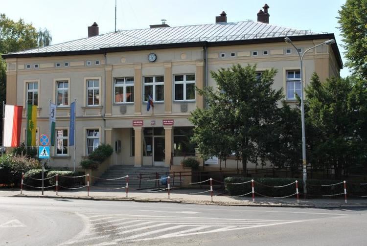
Gmina Oborniki Śląskie is an urban-rural gmina (administrative district) in Trzebnica County, Lower Silesian Voivodeship, in south-western Poland. Its seat is the town of Oborniki Śląskie, which lies approximately 12 kilometres (7 mi) west of Trzebnica, and 22 kilometres (14 mi) north-west of the regional capital Wrocław.
Contents
Map of Gmina Oborniki %C5%9Al%C4%85skie, Poland
The gmina covers an area of 153.75 square kilometres (59.4 sq mi), and as of 2006 its total population is 17,838 (out of which the population of Oborniki Śląskie amounts to 8,426, and the population of the rural part of the gmina is 9,412).
Neighbouring gminas
Gmina Oborniki Śląskie is bordered by the town of Wrocław and the gminas of Brzeg Dolny, Miękinia, Prusice, Trzebnica, Wisznia Mała and Wołów.
Villages
Apart from the town of Oborniki Śląskie, the gmina contains the villages of Bagno, Borkowice, Brzeźno Małe, Golędzinów, Jary, Kotowice, Kowale, Kuraszków, Lubnów, Morzęcin Mały, Morzęcin Wielki, Niziny, Nowosielce, Osola, Osolin, Paniowice, Pęgów, Piekary, Przecławice, Raków, Rościsławice, Siemianice, Uraz, Wielka Lipa, Wilczyn Leśny and Zajączków.
