
Population 7,560 (2006) | Area 76.17 km² | |
 | ||
Voivodeship | ||
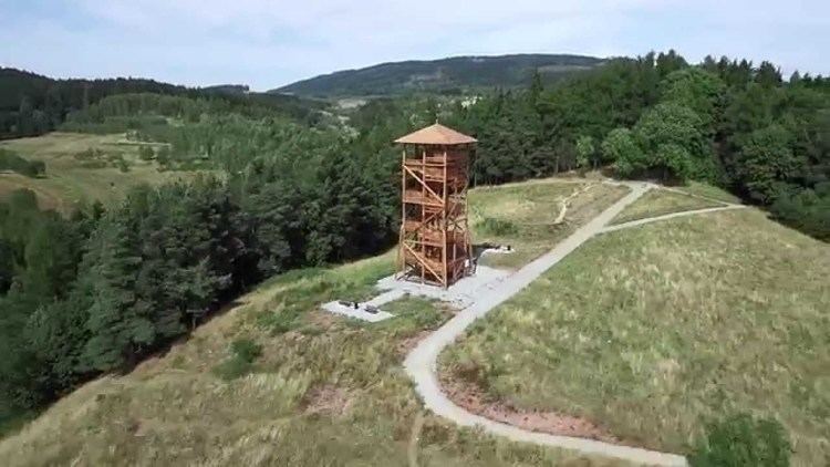
Gmina Mieroszów is an urban-rural gmina (administrative district) in Wałbrzych County, Lower Silesian Voivodeship, in south-western Poland. Its seat is the town of Mieroszów, which lies approximately 15 kilometres (9 mi) south-west of Wałbrzych, and 79 kilometres (49 mi) south-west of the regional capital Wrocław.
Contents
Map of Gmina Mierosz%C3%B3w, Poland
The gmina covers an area of 76.17 square kilometres (29.4 sq mi), and as of 2006 its total population is 7,560 (out of which the population of Mieroszów amounts to 4,515, and the population of the rural part of the gmina is 3,045).
Neighbouring gminas
Gmina Mieroszów is bordered by the towns of Boguszów-Gorce, Jedlina-Zdrój and Wałbrzych, and the gminas of Czarny Bór, Głuszyca, Kamienna Góra and Lubawka.
Villages
Apart from the town of Mieroszów, the gmina contains the villages of Golińsk, Kowalowa, Łączna, Nowe Siodło, Różana, Rybnica Leśna, Sokołowsko and Unisław Śląski.