Population 24,602 (2006) | Area 97.44 km² | |
 | ||
Website | ||
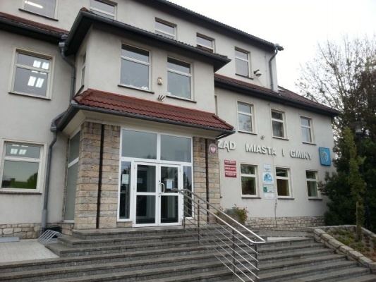
Gmina Krapkowice is an urban-rural gmina (administrative district) in Krapkowice County, Opole Voivodeship, in south-western Poland. Its seat is the town of Krapkowice, which lies approximately 23 kilometres (14 mi) south of the regional capital Opole.
Contents
Map of Gmina Krapkowice, Poland
The gmina covers an area of 97.44 square kilometres (37.6 sq mi), and as of 2006 its total population is 24,602 (out of which the population of Krapkowice amounts to 18,112, and the population of the rural part of the gmina is 6,490).
Villages
Apart from the town of Krapkowice, Gmina Krapkowice contains the villages and settlements of Borek, Dąbrówka Górna, Gwoździce, Jarczowice, Kórnica, Ligota, Nowy Dwór Prudnicki, Pietna, Posiłek, Rogów Opolski, Ściborowice, Steblów, Wesoła, Żużela and Żywocice.
Neighbouring gminy
Gmina Krapkowice is bordered by the gminy of Głogówek, Gogolin, Strzeleczki, Walce and Zdzieszowice.
