
Area 64.98 km² | ||
 | ||
Website | ||
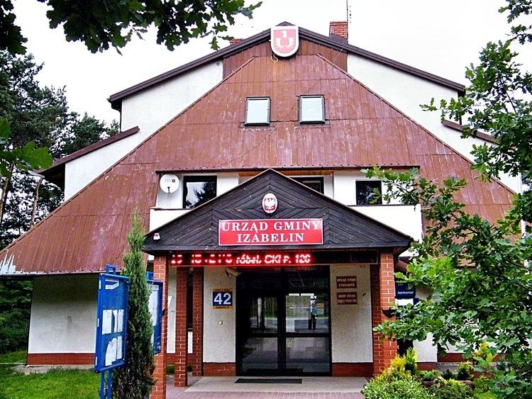
Gmina Izabelin is a rural gmina (administrative district) in Warsaw West County, Masovian Voivodeship, in east-central Poland. Its seat is the village of Izabelin, which lies approximately 10 kilometres (6 mi) north of Ożarów Mazowiecki and 16 km (10 mi) north-west of Warsaw.
Contents
Map of Gmina Izabelin, Poland
The gmina covers an area of 64.98 square kilometres (25.1 sq mi), and as of 2006 its total population is 10,068 (10,523 in 2013).
Villages
Gmina Izabelin contains the villages and settlements of Hornówek, Izabelin (including the sołectwos called Izabelin B and Izabelin C), Laski, Mościska, Sieraków and Truskaw.
Neighbouring gminas
Gmina Izabelin is bordered by the city of Warsaw and by the gminas of Czosnów, Leszno, Łomianki and Stare Babice.
References
Gmina Izabelin Wikipedia(Text) CC BY-SA