
Area 203.1 km² | ||
 | ||
Website www.dzwola.lubelskie.pl | ||
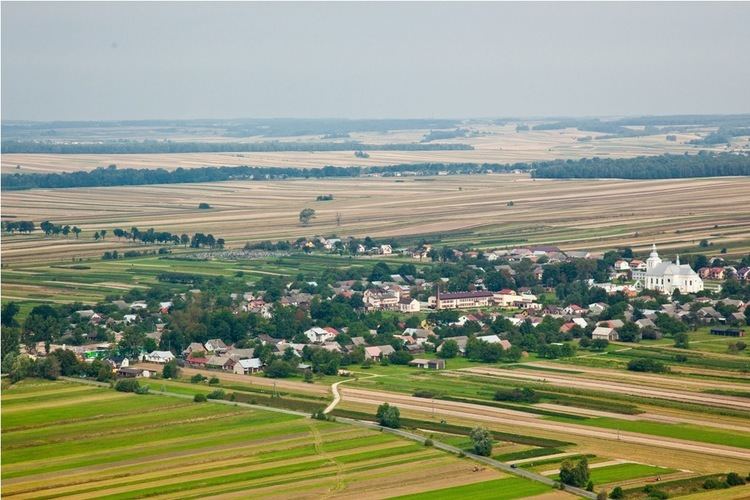
Gmina Dzwola is a rural gmina (administrative district) in Janów Lubelski County, Lublin Voivodeship, in eastern Poland. Its seat is the village of Dzwola, which lies approximately 11 kilometres (7 mi) east of Janów Lubelski and 61 km (38 mi) south of the regional capital Lublin.
Contents
Map of Gmina Dzwola, Poland
The gmina covers an area of 203.1 square kilometres (78.4 sq mi), and as of 2006 its total population is 6,664 (6,514 in 2013).
Villages
Gmina Dzwola contains the villages and settlements of Branew, Branewka, Branewka-Kolonia, Dzwola, Flisy, Kapronie, Kocudza Druga, Kocudza Górna, Kocudza Pierwsza, Kocudza Trzecia, Konstantów, Krzemień Drugi, Krzemień Pierwszy, Władysławów, Zdzisławice and Zofianka Dolna.
Neighbouring gminas
Gmina Dzwola is bordered by the gminas of Biłgoraj, Chrzanów, Frampol, Godziszów, Goraj and Janów Lubelski.