
Seat Żarów Area 87.98 km² | County Świdnica Population 12,619 (2014) | |
 | ||
Sołectwos Bożanów, Buków, Gołaszyce, Imbramowice, Kalno, Kruków, Łażany, Marcinowiczki, Mielęcin, Mikoszowa, Mrowiny, Pożarzysko, Przyłęgów, Pyszczyn, Siedlimowice, Wierzbna, Zastruże Voivodeship | ||
Gmina Żarów is an urban-rural gmina (administrative district) in Świdnica County, Lower Silesian Voivodeship, in south-western Poland. Its seat is the town of Żarów, which lies approximately 11 kilometres (7 mi) north-east of Świdnica, and 45 kilometres (28 mi) south-west of the regional capital Wrocław.
Contents
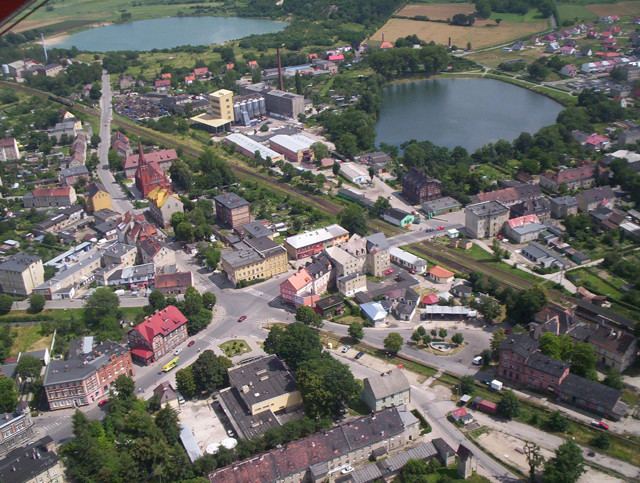
Map of Gmina %C5%BBar%C3%B3w, Poland
The gmina covers an area of 87.98 square kilometres (34.0 sq mi), and as of 2014 its total population is 12,619 (out of which the population of Żarów amounts to 6,874, and the population of the rural part of the gmina is 5,479).
Neighbouring gminas
Gmina Żarów is bordered by the gminas of Jaworzyna Śląska, Kostomłoty, Marcinowice, Mietków, Strzegom, Świdnica and Udanin.
Villages
Apart from the town of Żarów, the gmina contains the villages of Bożanów, Buków, Gołaszyce, Imbramowice, Kalno, Kruków, Łażany, Marcinowiczki, Mielęcin, Mikoszowa, Mrowiny, Pożarzysko, Przyłęgów, Pyszczyn, Siedlimowice, Wierzbna and Zastruże.