
Seat Łubniany Area 125.4 km² | Population 9,156 (2006) | |
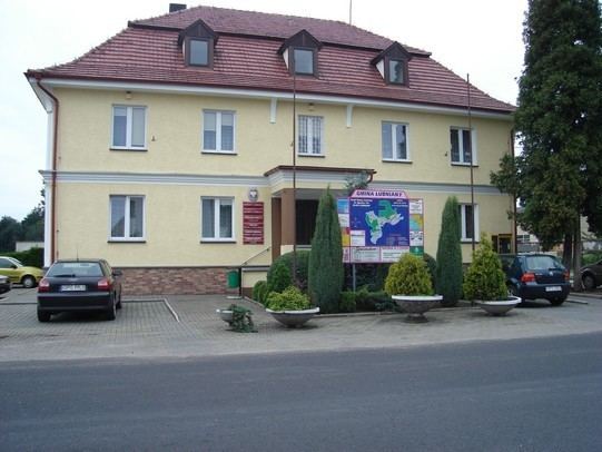 | ||
Gmina Łubniany, German Gemeinde Lugnian is a rural gmina (administrative district) in Opole County, Opole Voivodeship, in south-western Poland. Its seat is the village of Łubniany (Lugnian), which lies approximately 14 kilometres (9 mi) north of the regional capital Opole.
Contents
Map of Gmina %C5%81ubniany, Poland
The gmina covers an area of 125.41 square kilometres (48.42 sq mi), and as of 2006 its total population is 9,156. Since 2010 the village, like much of the area, has been officially bilingual in German and Polish.
The gmina contains part of the protected area called Stobrawa Landscape Park.
Villages
Gmina Łubniany contains the villages and settlements of:
Neighbouring gminas
Gmina Łubniany is bordered by the city of Opole and by the gminas of Dobrzeń Wielki/Groß Döbern, Lasowice Wielkie/Gross Lassowitz, Murów/Murow and Turawa.