
Seat Łagów Area 199.2 km² | County Świebodzin | |
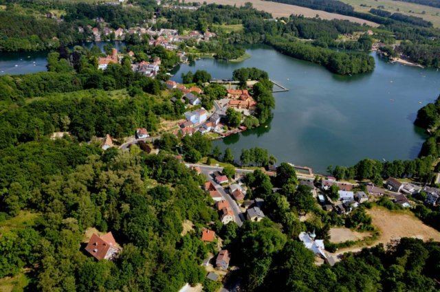 | ||
Gmina Łagów is a rural gmina (administrative district) in Świebodzin County, Lubusz Voivodeship, in western Poland. Its seat is the village of Łagów, which lies approximately 19 kilometres (12 mi) north-west of Świebodzin, 45 km (28 mi) south of Gorzów Wielkopolski, and 46 km (29 mi) north of Zielona Góra.
Contents
Map of Gmina %C5%81ag%C3%B3w, Poland
The gmina covers an area of 199.19 square kilometres (76.9 sq mi), and as of 2006 its total population is 5,135 (5,233 in 2011).
The gmina contains part of the protected area called Łagów Landscape Park.
Villages
Gmina Łagów contains the villages and settlements of Czyste, Gronów, Jemiołów, Kłodnica, Kolonia Czartów, Kosobudki, Kosobudz, Łagów, Łagówek, Niedźwiedź, Pasałka, Poźrzadło, Sieniawa, Stok, Toporów, Troszki, Zamęt and Żelechów.
Neighbouring gminas
Gmina Łagów is bordered by the gminas of Bytnica, Lubrza, Skąpe, Sulęcin and Torzym.