
Work settlements 2 Urban-type settlements 2 | Selsoviets 14 Area 850.5 km² | |
 | ||
Administrative center work settlement of Glushkovo | ||
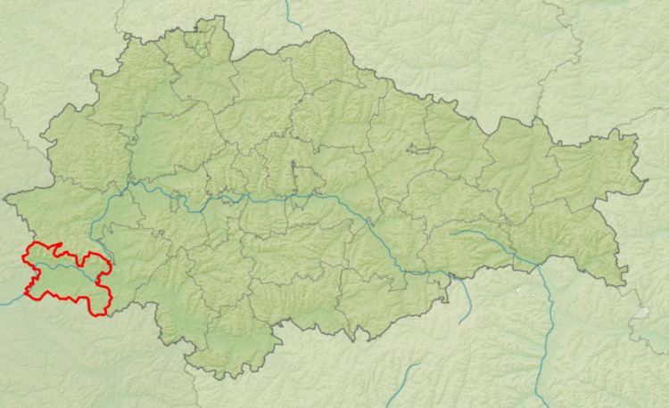
Glushkovsky District (Russian: Глушко́вский райо́н) is an administrative and municipal district (raion), one of the twenty-eight in Kursk Oblast, Russia. It is located in the west of the oblast. The area of the district is 851 square kilometers (329 sq mi). Its administrative center is the urban locality (a work settlement) of Glushkovo. Population: 22,661 (2010 Census); 28,147 (2002 Census); 32,855 (1989 Census). The population of Glushkovo accounts for 23.6% of the district's total population.
Contents
Map of Glushkovsky District, Kurskaya Oblast, Russia
Geography
Glushkovsky District is located in the south-west of Kursk Oblast on the border with Uklraine. The district lies on the Central Russian Upland; the terrain is a hilly plain averaging 200 meters above sea level. The area is dominated by the meandering floodplain of the Seym River, which runs east to west through the middle of the district on its way to the Desna River and ultimately the Dnieper River. The Seym River floodplain is 2.5-4.0 km wide, and the river valley is 7-12 km wide; the southern side is flatter.
The district is 120 km southwest of the city of Kursk, and 530 km southwest of Moscow. The area measures 22 km (north-south), and 40 km (west-east). The administrative center is the town of Glushkovo.
The district is bordered on the north by Rylsky District, on the east by Korenevsky District, on the south and west by Ukraine.