
Established 2013 Time zone ACST (UTC+9:30) Region Murray and Mallee Founded 2013 | Postcode(s) 5417 LGA(s) unincorporated area Elevation 57 m Postal code 5417 | |
 | ||
Location 180 km (112 mi) north east of Adelaide40 km (25 mi) north of Waikerie | ||
Gluepot is a locality in the Australian state of South Australia located about 180 kilometres (110 mi) north east of the state capital of Adelaide and about 40 kilometres (25 mi) to the north of the town of Waikerie.
Map of Gluepot SA 5417, Australia
The locality was established on 26 April 2013 in respect to “the long established local name.” Its name is derived from the former pastoral lease of the same name.
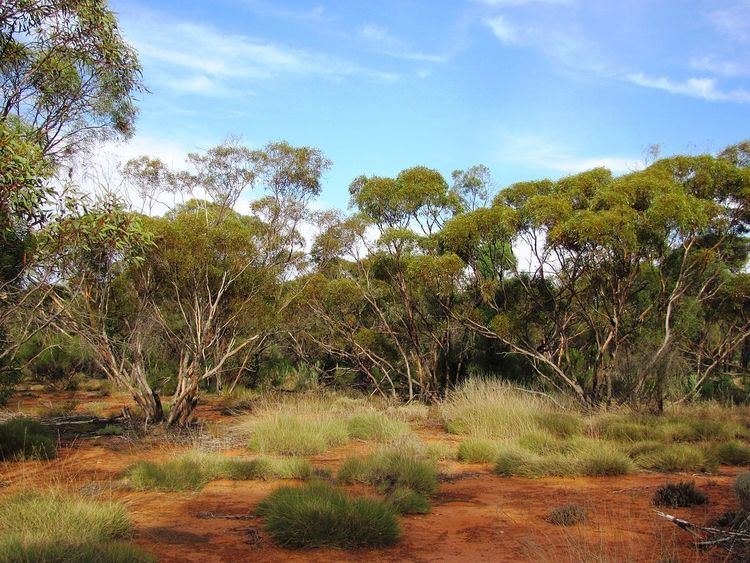
The land use within Gluepot is concerned with the use of the former pastoral lease as a private protected area known as the Gluepot Reserve which has fully occupied its extent as of 1997.
Gluepot is located within the federal Division of Grey, the state electoral district of Stuart, the unincorporated area of South Australia and the state’s Murray and Mallee region.
References
Gluepot, South Australia Wikipedia(Text) CC BY-SA