
Time zone Central (CST) (UTC-6) GNIS feature ID 535251 Zip code 71030 Population 94 (2010) | FIPS code 22-29395 Elevation 74 m Local time Wednesday 12:53 AM | |
 | ||
Weather 9°C, Wind E at 8 km/h, 69% Humidity Area 3.289 km² (3.263 km² Land / 5 ha Water) | ||
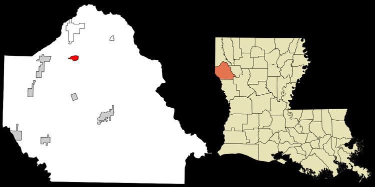
Gloster is an unincorporated community and census-designated place (CDP) in DeSoto Parish, Louisiana, United States. As of the 2010 census it had a population of 94.
Map of Gloster, LA 71030, USA
Gloster is located 1.5 miles (2.4 km) east of U.S. Route 171, 17 miles (27 km) north of Mansfield, the DeSoto Parish seat, and 30 miles (48 km) south of Shreveport.
It is the nearest community to three places listed on the U.S. National Register of Historic Places:
References
Gloster, Louisiana Wikipedia(Text) CC BY-SA