
Isolation 13 kilometres (8.1 mi) Elevation 2,465 m First ascent 1841 | Topo map 1618 III Glittertinden Prominence 995 m Mountain range Jotunheimen | |
 | ||
Similar Galdhøpiggen, Besseggen, Store Skagastølstind, Surtningssue, Besshø | ||
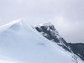
Glittertind (official form on maps: Glittertinden) is the second highest mountain in Norway, at 2,465 m above sea level, including the glacier at its peak (without the glacier, it is 2452 m). It is located within the municipality of Lom, in the Jotunheimen mountain area.
Contents
Glittertind had earlier been a challenger for the title as the highest mountain in Norway, as measurements showed Glittertind including the glacier was slightly higher than Galdhøpiggen (2,469 m above sea level and with no a glacier at the summit). In a 1917 official map, the mountain was indicated to be 2481 m. So it was a matter of defining a glacier as a part of a mountain or not. The glacier has, however, shrunk in recent years, and the dispute has been settled in Galdhøpiggen's favour. The summit of Glittertind was reached for the first time in 1841 by Harald Nicolai Storm Wergeland and Hans Sletten.
Glittertind is easily accessible from Spiterstulen lodge in the west, by a climb of 1300 m, and from Glitterheim lodge in the east, by a climb of 1000 m. The hike from Glitterheim is the easier, but Glitterheim is inside the National Park and can therefore only be reached by foot. The summit hike is a very popular one, only surpassed in seasonal numbers by Galdhøpiggen, its western neighbor.
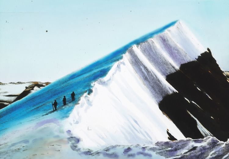
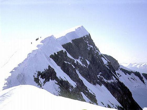
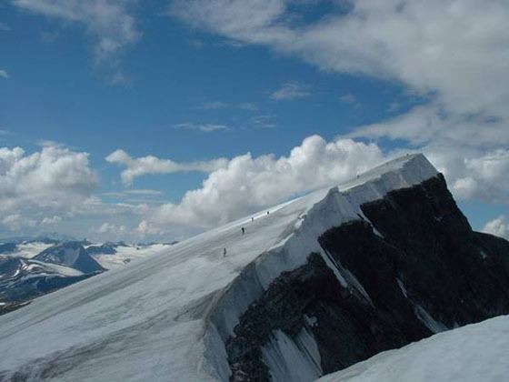
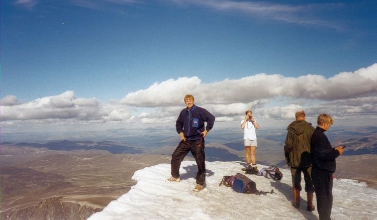
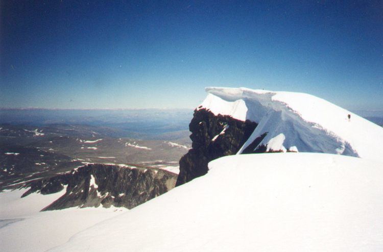
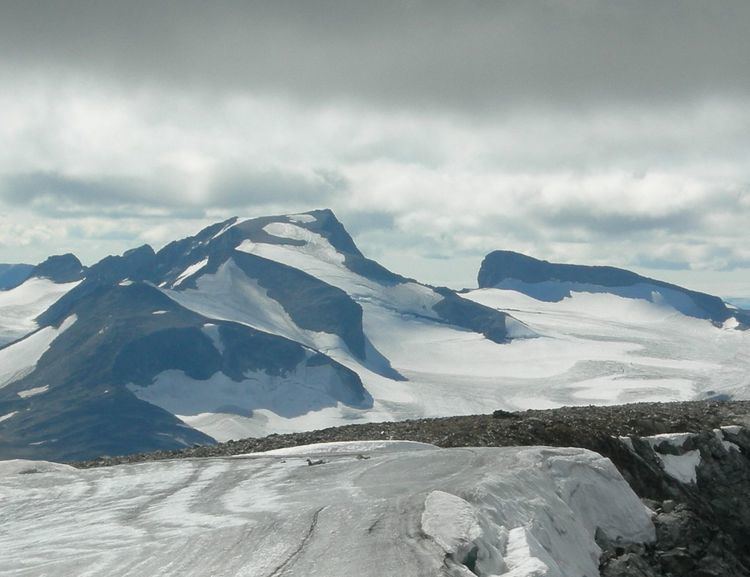
The route across the glacier that crowns the summit is completely without crevasses, but on a hot summer day it might be a wet hike across the melting snow which covers the ice. Visitors might even experience that the meltwater blows up across the summit, leaving hikers totally soaked. The view is magnificent. East and southeast of Glittertind there are hardly any high peaks, and hence most of the northern and eastern parts of the province of Oppland can be seen. All famous photos of Glittertind are taken on the eastern flank slightly below the top.
There used to be a cabin at the summit, but because of the impossibility of mooring it sufficiently, it was taken by a storm and landed on the Grjotbreen glacier, under the steep north wall of the summit.
Glittertind norway 2008
The name
The mountain is named after the river Glitra, the last element is the finite form of tind m 'mountain peak'. The name of the river is derived from the verb glitre 'glitter, sparkle'.