
Norse name Glums Holm Area rank 189= Country Scotland Highest elevation 32 m Council area Orkney Island groups British Isles, Orkney | OS grid reference ND472991 Sovereign state United Kingdom Population 0 Area 55 ha Lieutenancy area Orkney | |
 | ||
Glims Holm (OS: Glimps Holm; Old Norse: Glums Holm) is a small uninhabited islet in Orkney, Scotland.
Contents
Map of Glims Holm, United Kingdom
Geography
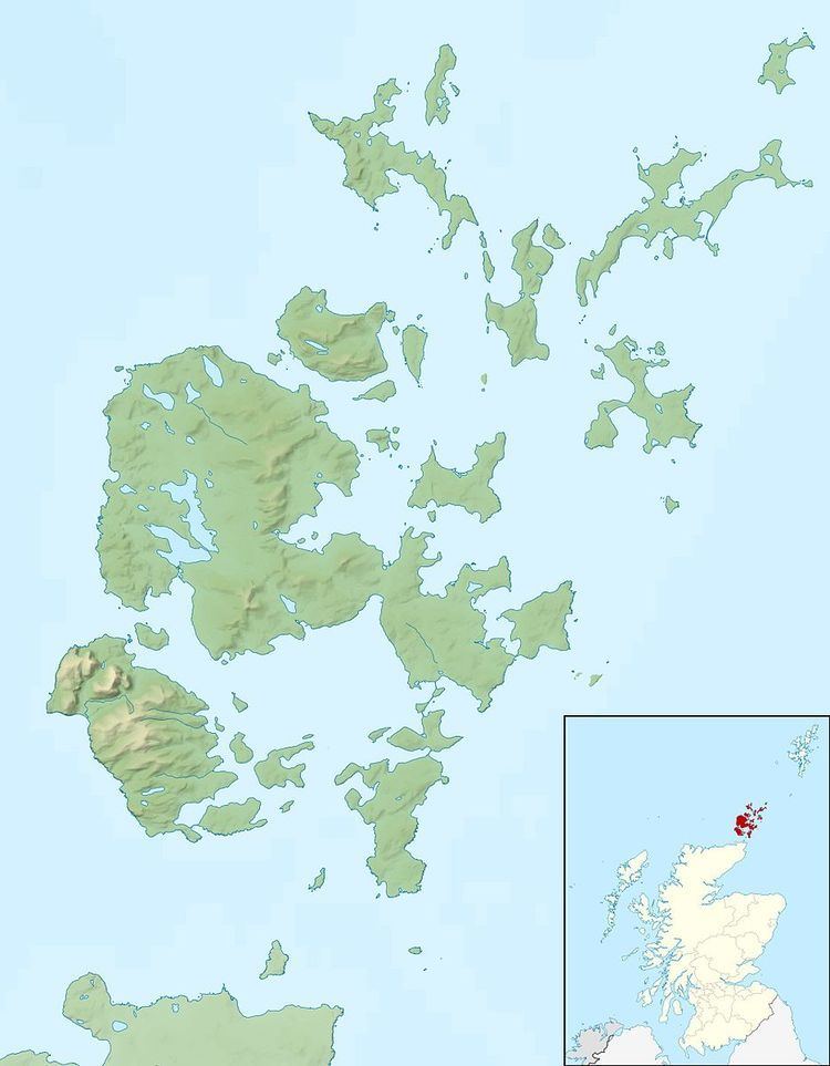
Glims Holm lies in Holm Sound, one of the eastern entrances to Scapa Flow, between Mainland, Orkney and the island of Burray, The Churchill Barriers link South Ronaldsay to the Orkney Mainland. Glims Holm is connected to Lamb Holm, to the northeast, by Barrier number 2, and to Burray by Barrier number 3.
History
Scapa Flow had many entrances, making it difficult to protect the anchorages in this natural harbour. Blockships had been sunk to close the narrow passages, but these proved inadequate. The Churchill Barriers were built during World War II to block the eastern entrances. Much of the labour for the causeways was provided by over 1300 Italian prisoners of war, captured in North Africa and stationed in Camp 60 on Lamb Holm and two camps on Burray.