
Country United States FIPS code 56-32435 Elevation 1,530 m Zip code 82637 Local time Tuesday 3:07 PM | Time zone Mountain (MST) (UTC-7) GNIS feature ID 1609095 Area 4.921 km² Population 2,637 (2013) Area code 307 | |
 | ||
Weather 15°C, Wind W at 21 km/h, 35% Humidity | ||
Glenrock wyoming evps
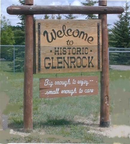
Glenrock is a town in Converse County, Wyoming, United States. The population was 2,576 at the 2010 census.
Contents
- Glenrock wyoming evps
- Map of Glenrock WY 82637 USA
- How to say or pronounce usa cities glenrock wyoming
- History
- Historical Sites
- Glenrock train wreck
- Geography
- 2010 census
- 2000 census
- Education
- Attractions tourism
- Major highways
- Notable people
- References
Map of Glenrock, WY 82637, USA
How to say or pronounce usa cities glenrock wyoming
History
Glenrock, known as Deer Creek Station, had its beginning as a mail and stage station along the Oregon Trail. The station served as a relay and eating place and was a vital supply point for thousands of emigrants as they traveled westward. The discovery of oil in 1889 greatly contributed to the economy of central Wyoming and especially Glenrock.
Historical Sites
Rock in the Glen
Mormon Mines
Deer Creek Station
Glenrock train wreck
September 27, 1923 – near Glenrock, Wyoming, soon after the washout of Chicago, Burlington and Quincy Railroad's bridge over Cole Creek, a passenger train fell through the washout, killing 30 of the train's 66 passengers. This marked the worst railroad accident in Wyoming's history.
Geography
Glenrock is located at 42°51′29″N 105°51′58″W (42.858145, -105.866170).
According to the United States Census Bureau, the town has a total area of 2.28 square miles (5.91 km2), all of it land.
2010 census
As of the census of 2010, there were 2,576 people, 1,102 households, and 713 families residing in the town. The population density was 1,129.8 inhabitants per square mile (436.2/km2). There were 1,201 housing units at an average density of 526.8 per square mile (203.4/km2). The racial makeup of the town was 96.0% White, 0.5% African American, 0.9% Native American, 0.4% Asian, 0.9% from other races, and 1.3% from two or more races. Hispanic or Latino of any race were 4.9% of the population.
There were 1,102 households of which 29.7% had children under the age of 18 living with them, 50.5% were married couples living together, 9.6% had a female householder with no husband present, 4.5% had a male householder with no wife present, and 35.3% were non-families. 29.8% of all households were made up of individuals and 13.3% had someone living alone who was 65 years of age or older. The average household size was 2.32 and the average family size was 2.85.
The median age in the town was 41.3 years. 23.5% of residents were under the age of 18; 8.2% were between the ages of 18 and 24; 22.8% were from 25 to 44; 27.7% were from 45 to 64; and 17.7% were 65 years of age or older. The gender makeup of the town was 51.7% male and 48.3% female.
2000 census
As of the census of 2000, there were 2,231 people, 925 households, and 641 families residing in the town. The population density was 1,155.3 people per square mile (446.3/km²). There were 1,131 housing units at an average density of 585.7 per square mile (226.3/km²). The racial makeup of the town was 94.53% White, 0.31% African American, 1.61% Native American, 0.40% Asian, 0.04% Pacific Islander, 1.03% from other races, and 2.06% from two or more races. Hispanic or Latino of any race were 3.81% of the population.
There were 925 households out of which 33.8% had children under the age of 18 living with them, 54.1% were married couples living together, 11.5% had a female householder with no husband present, and 30.6% were non-families. 26.7% of all households were made up of individuals and 11.9% had someone living alone who was 65 years of age or older. The average household size was 2.41 and the average family size was 2.89.
In the town, the population was spread out with 28.8% under the age of 18, 6.6% from 18 to 24, 25.6% from 25 to 44, 25.8% from 45 to 64, and 13.2% who were 65 years of age or older. The median age was 38 years. For every 100 females there were 96.2 males. For every 100 females age 18 and over, there were 89.4 males.
The median income for a household in the town was $32,300, and the median income for a family was $40,927. Males had a median income of $32,778 versus $18,795 for females. The per capita income for the town was $17,088. About 11.4% of families and 13.0% of the population were below the poverty line, including 18.7% of those under age 18 and 6.4% of those age 65 or over.
Education
Public education in the town of Glenrock is provided by Converse County School District #2. The district has three campuses – Grant Elementary School (grades K-4), Glenrock Intermediate Middle School/Glenrock Middle School (grades 5-8), and Glenrock High School (grades 9-12).
Attractions & tourism
Outdoor recreation opportunities are plentiful in the area surrounding Glenrock, as the Laramie Mountains, Medicine Bow National Forest, and the Platte River are nearby.
The Deer Creek Days Festival, Jamborees, and outdoor activities attract visitors to the town.
Other attractions include: