Population 1,308 (2011) State electorate(s) Mirani Postal code 4743 | Postcode(s) 4743 Glenden Hail Creek Local time Wednesday 5:49 AM | |
 | ||
Weather 24°C, Wind N at 6 km/h, 92% Humidity | ||
Glenden is a mining town and rural locality in the Isaac Region, Queensland, Australia. In the 2011 census, Glenden had a population of 1,308 people.
Contents
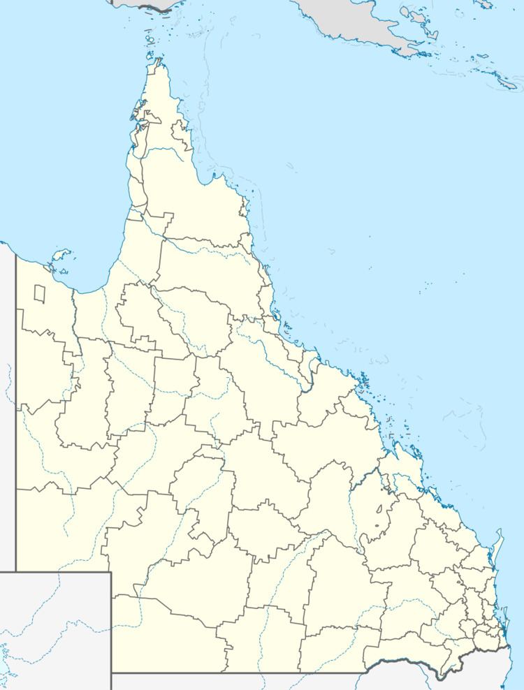
Map of Glenden QLD 4743, Australia
History
Glenden was constructed by the Mount Isa Mines company (now Glencore) to provide accommodation for workers at their Newlands coal mine. The site, 30 kilometres from the mine, was chosen in 1981 and was constructed by the company and then given to the Shire of Nebo (which was amalgamated in 2008 to become Isaac Region) to administer.
Glenden State School opened on 25 January 1982.
Glenden Post Office opened in about 1983.
Glenden Christian School opened on 5 January 1995 but closed on 3 February 1997.
Economy
The mine is the major employer in the town, but the surrounding rural areas are mostly cattle farms.
Education
Glenden State School is a government co-educational primary and secondary (P-12) school located on Gillham Terrace. In 2013, the school had 317 students and 25 teachers (24 full-time equivalent).
