County Boulder Elevation 2,075 m Local time Tuesday 1:44 PM | Time zone MST (UTC-7) Area 3.3 km² Population 69 (2010) | |
 | ||
Weather 17°C, Wind NW at 0 km/h, 21% Humidity | ||
Glendale is a census-designated place (CDP) in Boulder County, Colorado, United States. It should not be confused with the city by the same name in Arapahoe County, Colorado. The population as of the 2010 Census was 69.
Contents
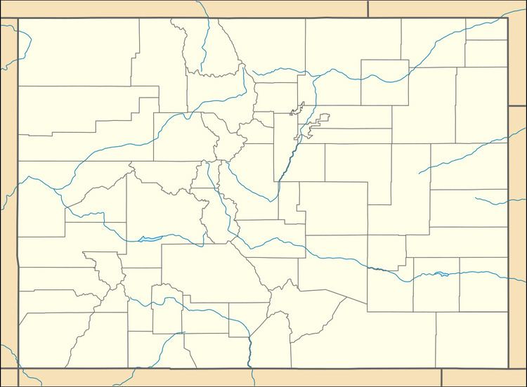
Map of Glendale, Colorado 80455, USA
Geography
Glendale is located in central Boulder County in the Front Range of the Colorado Rocky Mountains, in the valley of Left Hand Creek. Lefthand Canyon Drive leads east 7 miles (11 km) to Altona and U.S. Highway 36, and west 9 miles (14 km) to Ward and State Highway 72.
According to the U.S. Census Bureau, the Glendale CDP has an area of 1.3 square miles (3.3 km2), all land.
References
Glendale, Boulder County, Colorado Wikipedia(Text) CC BY-SA
