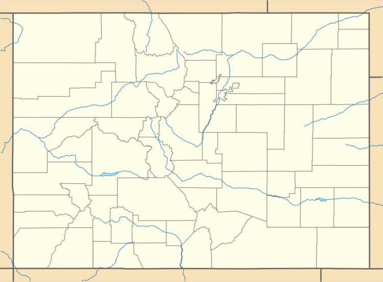
GNIS feature ID 0178293 Population 501 (2010) | Time zone MST (UTC-7) Elevation 1,707 m Local time Monday 12:57 AM | |
 | ||
Weather -4°C, Wind W at 3 km/h, 51% Humidity Area 4.403 km² (4.403 km² Land / 10 ha Water) | ||
Mile hi skydiving noise abuse over altona colorado
Altona is a census-designated place (CDP) in Boulder County, Colorado, United States. As of the 2010 census it had a population of 501.
Contents
Map of Altona, CO 80302, USA
Geography
Altona is located in central Boulder County at 40°7′21″N 105°17′46″W (40.1225330, -105.2960570), where Left Hand Creek exits the Front Range of the Colorado Rockies. U.S. Highway 36 passes through the community, leading north to Lyons and south to Boulder. Altona is 10 miles (16 km) west of Longmont by Nelson Road.
According to the U.S. Census Bureau, the Altona CDP has a total area of 1.7 square miles (4.5 km2), of which 1.7 square miles (4.4 km2) is land and 0.039 square miles (0.1 km2), or 3.31%, is water.
References
Altona, Colorado Wikipedia(Text) CC BY-SA
