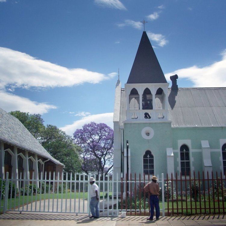
Established 1903 Area code 034 | Postal code (street) 2930 Local time Tuesday 9:30 PM | |
 | ||
Weather 19°C, Wind N at 10 km/h, 72% Humidity | ||
Glencoe is situated in the Umzinyathi District, District of KwaZulu-Natal, South Africa.
Contents
Map of Glencoe, South Africa
The main economic activity in the area is coal mining while sheep and cattle ranching are also practiced.
History
With coal discovered at Dundee not even 8 km away an efficient way was needed to transport the coal to the factories other than ox wagons. The railway from Durban to Johannesburg reached this point on 4 September 1889. A new village sprung up where a branch line was built from the Durban-Johannesburg line to the eastern Transvaal in 1903. The village was renamed Glencoe, after a mountain valley in Lochaber, Scotland, when it became a town in 1934.
Trivia
References
Glencoe, KwaZulu-Natal Wikipedia(Text) CC BY-SA
