
Time zone SAST (UTC+2) White population 7.2% Local time Friday 5:33 PM | Wards 6 Municipal code KZN241 Area 1,610 km² | |
 | ||
Weather 16°C, Wind SE at 13 km/h, 62% Humidity Points of interest Talana Museum, Blood River Battlefield, Dundee Golf Club, Bloedrivier Monument | ||
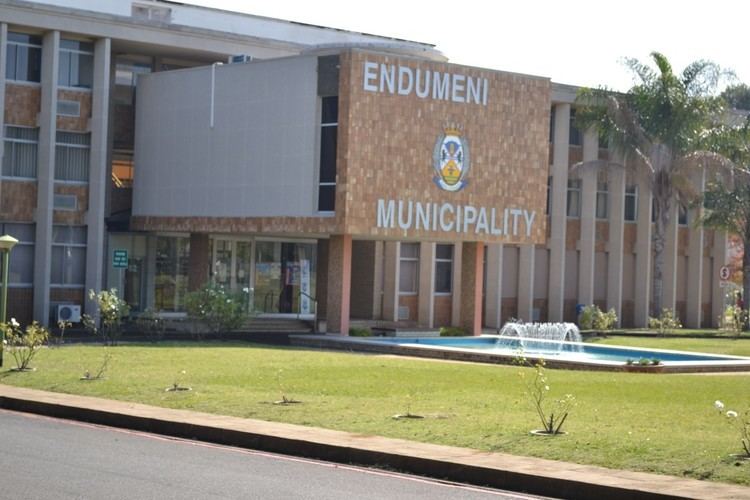
Endumeni Local Municipality is an administrative area in the Umzinyathi District of KwaZulu-Natal in South Africa. Endumeni is an isiZulu name meaning "a place of thunderstorm". The municipality shares its name with the Endumeni hill.
Contents
Map of Dundee, South Africa
Main places
The 2001 census divided the municipality into the following main places:
Politics
The municipal council consists of thirteen members elected by mixed-member proportional representation. Seven councillors are elected by first-past-the-post voting in seven wards, while the remaining six are chosen from party lists so that the total number of party representatives is proportional to the number of votes received. In the election of 3 August 2016 no party obtained a majority. The Inkatha Freedom Party (IFP) formed a government with the support of the Democratic Alliance (DA) and the Economic Freedom Fighters (EFF). The following table shows the results of the election.