
Quadrant SW Established 1958 Area 190 ha Population 6,827 (2006) | Ward 6 Annexed 1954 Local time Tuesday 1:18 PM | |
 | ||
Weather 7°C, Wind SE at 13 km/h, 53% Humidity | ||
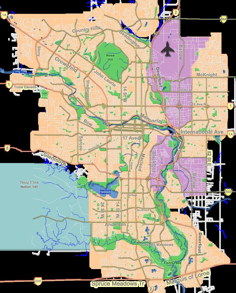
Glenbrook is a residential neighbourhood in the south-west quadrant of Calgary, Alberta. It is bounded by 26 Avenue S to the north, 37 Street W to the east, Richmond Road to the south and Sarcee Trail to the west.
Contents
- Map of Glenbrook Calgary AB Canada
- Spacious 2 bedroom townhome with garage in glenbrook calgary alberta
- Demographics
- Education
- References
Map of Glenbrook, Calgary, AB, Canada
The land was partly annexed to the City of Calgary in 1954, and partly in 1956. Glenbrook was established in 1958. It is represented in the Calgary City Council by the Ward 6 councillor.
Spacious 2 bedroom townhome with garage in glenbrook calgary alberta
Demographics
In the City of Calgary's 2012 municipal census, Glenbrook had a population of 7003705600000000000♠7,056 living in 7003324700000000000♠3,247 dwellings, a 2.4% increase from its 2011 population of 7003689300000000000♠6,893. With a land area of 1.9 km2 (0.73 sq mi), it had a population density of 3,710/km2 (9,620/sq mi) in 2012.
Residents in this community had a median household income of $42,845 in 2000, and there were 23.3% low income residents living in the neighbourhood. As of 2000, 20.5% of the residents were immigrants. A proportion of 35.6% of the buildings were condominiums or apartments, and 46.1% of the housing was used for renting.
Education
The community is served by A.E. Cross Junior High, Glenbrook Elementary public schools and Calgary Christian, St. Gregory Elementary-Junior High (4-9) and St. Thomas Aquinas Elementary (K-3) (Catholic schools).