
 | ||
Glazne Buttress (Bulgarian: рид Глазне, ‘Rid Glazne’ \'rid gla-'zne) is the ice-covered buttress rising to 1650 m in the southeast foothills of Detroit Plateau on Nordenskjöld Coast in Graham Land. It is situated between Arrol Icefall and upper Aleksiev Glacier, and has precipitous, partly ice-free northeast and south slopes. The feature is named after Glazne River in Southwestern Bulgaria.
Contents
Map of Glazne Buttress, Antarctica
Location
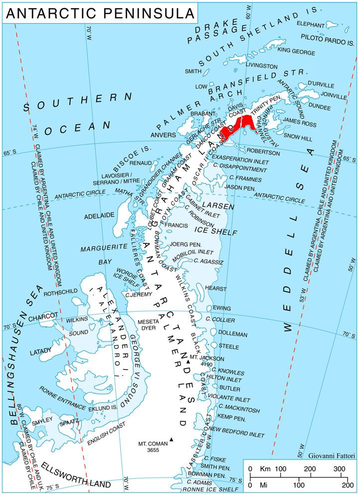
Glazne Buttress is located at 64°35′10″S 60°38′40″W, which is 13.7 km west-southwest of the summit of Kableshkov Ridge, 13.8 km west of Spoluka Point, 9.85 km north of Papiya Nunatak, and 9.7 km east-southeast of Konstantin Buttress. British mapping in 1978.
Maps
References
Glazne Buttress Wikipedia(Text) CC BY-SA