Population 560 (2011 census) Glamorgan Vale BorallonPine Mountain Local time Tuesday 11:46 PM | Postcode(s) 4306 Postal code 4306 | |
 | ||
Weather 21°C, Wind SE at 3 km/h, 91% Humidity Federal divisions Division of Blair, Division of Dickson | ||
Glamorgan Vale is a township and rural locality in Queensland, Australia. The town is in the Lockyer Valley and in the Somerset Region local government area, 57 kilometres (35 mi) west of the state capital, Brisbane. In 2011, its population was 560.
Contents
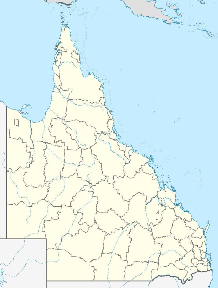
Map of Glamorgan Vale QLD 4306, Australia
The township itself is prone to flooding in times of extreme weather events as it borders the Black Snake Creek a tributary of the Brisbane River. Exploratory mining was conducted in the area in the early 2000s for natural gas which was unsuccessful. The area was designated for new housing growth in the 2016 draft release of the South East Queensland Regional Plan.
History
Glamorgan Vale Post Office opened on 1 January 1872 and closed in 1972. Thomas Pratt from Somerset, England was the first postmaster.
Pratt also had the licence for the Glamorgan hotel from 1880 to 1895 and again from 1898 to 1899. He and his family settled in Ipswich, naming their home Glamorganvale. The Hotel was redeveloped and now operates as the Bottletree Hotel.
Amenities
Glamorgan Vale State School celebrated its 140th anniversary in 2015. The school originally had a principal's house next door which was demolished and turned into a sports field. There is a heritage church across from the school which is now private property. Down from the school, there is community hall, tennis court and public park. Glamorgan Vale is also the home to a cemetery, private airfield, pet motel and the Glamorgan Vale Water Board. There is a scenic country road through the mountains on route from Glamorgan Vale to Lowood, a neighbouring township.
