
Ward 6 Area 190 ha Population 6,317 (2006) | Quadrant SW Established 1958 Elevation 1,140 m Local time Tuesday 7:47 AM | |
 | ||
Weather 1°C, Wind SW at 5 km/h, 70% Humidity Restaurants Golden Leaf Restaurant, Hanni's Restaurant, Momo‑Ya Sushi Japanese, Humpty's Family Restaura, Boston Pizza | ||
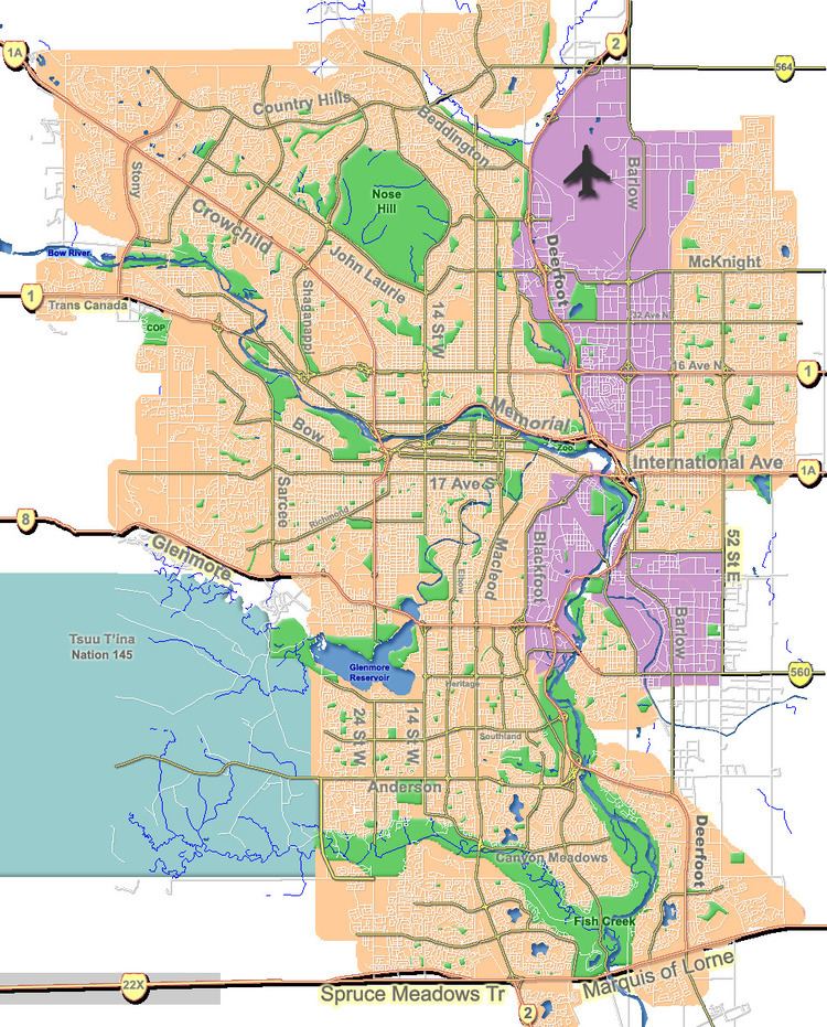
Glamorgan is a residential neighbourhood in the south-west quadrant of Calgary, Alberta. It is bounded by Richmond Road to the north, by 37 Street W to the east, Glenmore Trail to the south and Sarcee Trail to the west.
Contents
Map of Glamorgan, Calgary, AB, Canada
Glamorgan was established in 1958. It is represented in the Calgary City Council by the Ward 6 councillor. Provincially, the community is part of Calgary Elbow, the current MLA being Alison Redford, who was elected in the 2008 Alberta general election. The current MP is Joan Crockatt.
Demographics
In the City of Calgary's 2012 municipal census, Glamorgan had a population of 7003637600000000000♠6,376 living in 7003298800000000000♠2,988 dwellings, a 2.1% increase from its 2011 population of 7003624200000000000♠6,242. With a land area of 2 km2 (0.77 sq mi), it had a population density of 3,200/km2 (8,300/sq mi) in 2012.
Residents in this community had a median household income of $51,192 in 2000, and there were 55.9% low income residents living in the neighbourhood. As of 2000, 15.9% of the residents were immigrants. A proportion of 30.8% of the buildings were condominiums or apartments, and 37.1% of the housing was used for renting.
Education
The community is served by Glamorgan Elementary public school and St. Andrew Elementary School (Catholic).