
Carries Victoria Road Design Concrete Arch Bridge Construction cost ₤3,417,265 Clearance below 41 m Total length 579 m | Longest span 305 metres (1,001 ft) Opened 2 October 1964 Height 45 m | |
 | ||
Locale DrummoyneHuntleys Point (Map) Address Victoria Rd, Huntleys Point NSW, Australia Location Huntleys Point, Gladesville, Drummoyne Similar | ||
Gladesville Bridge is an arch bridge near Gladesville that spans the Parramatta River, west of central Sydney, Australia. It links the suburbs of Huntleys Point and Drummoyne. It is a few kilometres upstream of the more famous Sydney Harbour Bridge and is part of Victoria Road. When it was completed in 1964, Gladesville Bridge was the longest single span concrete arch ever constructed. Gladesville Bridge is the largest of a complex of three bridges, including Fig Tree Bridge and Tarban Creek Bridge, designed to carry traffic as part of the North Western Expressway. The bridge was the first phase of this freeway project that was to connect traffic from the Newcastle via Wahroonga/Lane Cove, then through Glebe/Annandale to connect into the city. Due to community action the freeway project was abandoned by the Wran government in 1977, leaving the Gladesville bridge connecting the existing arterial roads.
Contents
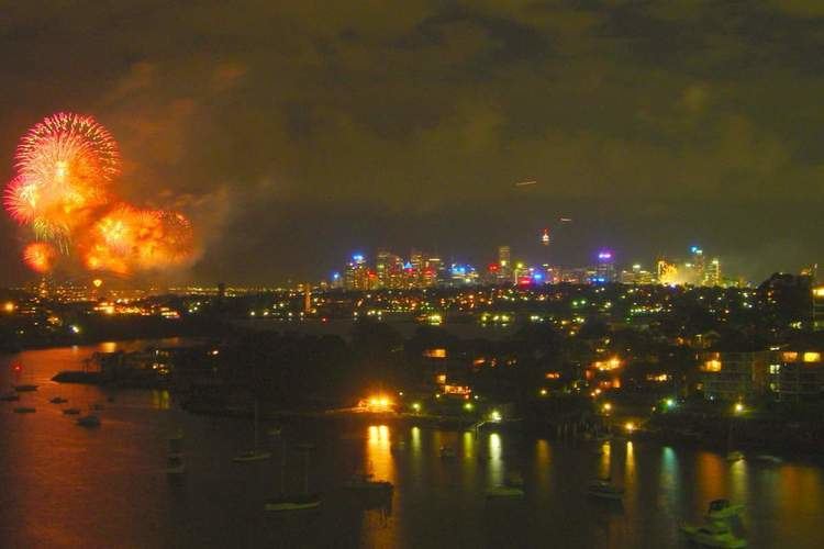
- Gladesville bridge new south wales australia 4k ultra hd
- 1881 bridge
- Current bridge
- Design and Construction
- Bicycle and pedestrian access
- References
Gladesville bridge new south wales australia 4k ultra hd
1881 bridge
The current bridge replaced the original Gladesville Bridge (Parramatta River Bridge), which was opened on 1 February 1881. The old Gladesville Bridge was constructed as part of a series of bridges built during the 1880s, which also saw the construction of the Fig Tree Bridge and the Iron Cove Bridge. It was the only crossing of the Parramatta River east of Parramatta at the time of construction, with punts and ferries (steamers) providing the main methods of crossing the river. The closest crossing to the bridge was the Bedlam Punt, which operated from 1829 through to 1881 between Punt Road in the present-day Gladesville and the Great North Road in present-day Abbotsford. This bridge was also constructed per agitation by the community on providing a tram service from Ryde to the City.
The 1881 Gladesville Bridge was about 300 metres (984 ft) to the west of the modern bridge. This original bridge only carried one lane of traffic in each direction as well as a tramway. It featured a swing section on the southern end of the bridge that could be opened to permit sailing ships and steamers with high funnels to pass. Colliers from Newcastle would require the bridge to be opened to gain access to the Australian Gas Light Company (AGL) gasworks site at Mortlake, (now redeveloped as Breakfast Point). The bridge stood on iron cylinders with a sandstone pier at each end of the bridge. The sandstone piers are all that remain today of the original bridge, with the northern pier adjacent to the Huntleys Point ferry wharf, and the southern in Howley Park in Drummoyne.
Current bridge
The 1964 bridge was planned and commenced as traffic demands rose steadily during the 1950s. The old bridge became a one-way crossing during peak periods, and, being used by trams, there were also several occasions during the 1960s when it could no longer be re-closed, having expanded when open due to extreme heat conditions. Construction on the new bridge started in December 1959, and took five years to complete. It was officially opened by Princess Marina on 2 October 1964.
The bridge was originally opened with six traffic lanes, but the extra-wide outer lanes enabled a later reconfiguration to take place. The bridge now has three northbound lanes and four southbound lanes, separated by a concrete median.
Design and Construction
At the time when the bridge was planned, it was anticipated that extremely large vessels would need to pass underneath it in the years to come. This, as well as the topography of the site, explains why the bridge was designed with such a high clearance.
The design of the bridge was both daring and untried, yet in many ways echoed the Roman method of building arches using segmented units built over a temporary formwork. In Gladesville's case, these were hollow precast concrete blocks which were hoisted up from barges on the river, then moved down a railway on the top of the formwork into position. Every few blocks, special inflatable rubber gaskets were inserted. When all of the blocks in the arch (there are four parallel arches altogether, not seen in the picture) were in place, the gaskets were 'inflated' using synthetic hydraulic fluid, expanding the entire arch and lifting it away from the formwork to support its own weight. Once adjusted to the correct position, the gaskets were filled with liquid concrete, driving out the oil and setting to form a permanent solid arch. The formwork was then moved sideways and the next arch constructed in the same fashion. Once all four arches were erected, the deck was laid on top built from further precast concrete units. The arches bed into solid sandstone bedrock on either side of the river.
The bridge as originally tendered for this location was a rather conventional steel cantilever bridge, but one of the contractors tendered the alternative catenary arch design, recognising it was pushing the envelope of existing bridge-building knowledge. The contractor's designer was G Maunsell & Partners of London. Their alternative was accepted after submission to the famous bridge engineer Eugène Freyssinet, who approved the design with recommendations. The inflatable gasket method for example had been pioneered by Freyssinet on much earlier designs.
Bicycle and pedestrian access
The bridge has a footpath on both sides of the bridge. The path on the west side is under a metre wide, much too narrow to cycle on. The path on the east side is listed as a shared cycle path, but it is also only 1.7 metres (5 ft 7 in) wide bound between a low barrier with a steel hand rail on the road side and a 2m fence on the drop side. These barriers make the effective path about 1 metre (3 ft 3 in) wide for two way cycle and pedestrian traffic. Austroads minimum standard for a shared path is 2.5 metres (8 ft 2 in), plus 0.4 to 1 metre (1 ft 4 in to 3 ft 3 in) clearance from barriers.
Access from the northern end is via a pedestrian tunnel off Huntleys Point Road, directly under the bridge. The bridge is not wheelchair accessible.