Airport type Public Elevation AMSL 311 ft / 95 m 1,672 5,485 Elevation 95 m | Operator Government 03/21 1,672 Code PNP Phone +675 7260 6870 | |
 | ||
Address Popondetta 657, Papua New Guinea | ||
Gary juffa at girua airport kokoda landowners protest
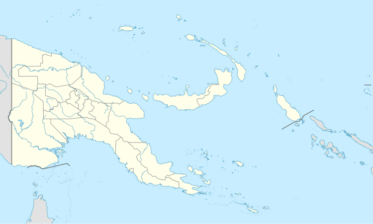
Girua Airport (IATA: PNP, ICAO: AYGR) is an airport serving Popondetta, a city in the Oro (or Northern) province in Papua New Guinea.
Contents
- Gary juffa at girua airport kokoda landowners protest
- 20170115 girua airport boardin gate png
- History
- Major USAAF units assigned
- References
20170115 girua airport boardin gate png
History
Girua Airport is located near Dobodura, to the north-east of the Embi Lakes, north-east of Inonda. To the south is Mt. Lamington, a volcano that dominates the skyline. The airport was built during World War II as part of the Dobodura Airfield Complex during late 1942 and early 1943. During the war, the airfield had several names, including No. 7, West 7, or Horanda No. 7 Airstrip or West 7. It was also known as Kenney Strip, in honor of Fifth Air Force Commander General George Kenney.
The main Dobodura complex had eleven airstrips, most interconnected for taxiing purposes. At the height of the Battle of Buna-Gona supplies began landing at the airfields including artillery spotting planes, a 105mm and five Bren Gun Carriers used to assault Cape Endaiadere,
After the battle, Dobodura was developed into a major airbase, with storage and repair facilities, and interconnecting taxiways to adjacent airfields. Today, Girua is the only airfield still in use, the others being abandoned after the war.
