
Country United States FIPS code 19-30945 Elevation 373 m Zip code 50541 Local time Monday 8:17 PM | Time zone Central (CST) (UTC-6) GNIS feature ID 0456906 Area 3.24 km² Population 502 (2013) Area code 515 | |
 | ||
Weather -9°C, Wind N at 11 km/h, 71% Humidity | ||
Gilmore City is a city in Humboldt and Pocahontas counties in the U.S. state of Iowa. The population was 504 at the 2010 census.
Contents
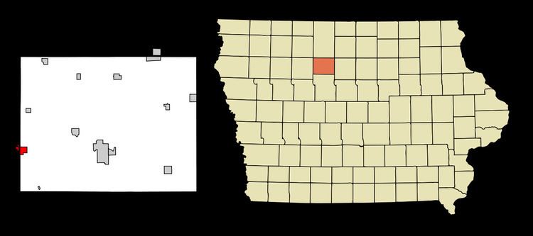
Map of Gilmore City, IA 50541, USA
History
Gilmore City was platted in 1884, not long after the railroad had been built through that territory in 1882.
Gilmore City was originally known as Blooming Prairie; the name was changed to Gilmore City in the early 1880s. The city was named for C. N. Gilmore, the superintendent of the Chicago, Rock Island and Pacific Railroad (CRI & P). The community was incorporated on April 16, 1887.
Geography
Gilmore City is located at 42°43′50″N 94°26′33″W (42.730521, -94.442434).
According to the United States Census Bureau, the city has a total area of 1.25 square miles (3.24 km2), all of it land. It contains one neighborhood, Stein's Rockin R Mobile Home Park, Iowa, on the Pocahontas side of town.
2010 census
As of the census of 2010, there were 504 people, 239 households, and 136 families residing in the city. The population density was 403.2 inhabitants per square mile (155.7/km2). There were 277 housing units at an average density of 221.6 per square mile (85.6/km2). The racial makeup of the city was 97.8% White, 0.4% African American, 0.4% Asian, 0.4% from other races, and 1.0% from two or more races. Hispanic or Latino of any race were 1.6% of the population.
There were 239 households of which 25.5% had children under the age of 18 living with them, 43.5% were married couples living together, 10.0% had a female householder with no husband present, 3.3% had a male householder with no wife present, and 43.1% were non-families. 38.5% of all households were made up of individuals and 15.1% had someone living alone who was 65 years of age or older. The average household size was 2.11 and the average family size was 2.80.
The median age in the city was 45 years. 22.6% of residents were under the age of 18; 6.7% were between the ages of 18 and 24; 20.9% were from 25 to 44; 30.9% were from 45 to 64; and 19% were 65 years of age or older. The gender makeup of the city was 48.2% male and 51.8% female.
2000 census
As of the census of 2000, there were 556 people, 257 households, and 160 families residing in the city. The population density was 448.5 people per square mile (173.1/km²). There were 272 housing units at an average density of 219.4 per square mile (84.7/km²). The racial makeup of the city was 98.38% White, 0.18% Asian, 0.90% from other races, and 0.54% from two or more races. Hispanic or Latino of any race were 1.08% of the population.
There were 257 households out of which 25.7% had children under the age of 18 living with them, 49.0% were married couples living together, 8.6% had a female householder with no husband present, and 37.7% were non-families. 35.8% of all households were made up of individuals and 20.2% had someone living alone who was 65 years of age or older. The average household size was 2.16 and the average family size was 2.75.
22.1% are under the age of 18, 7.0% from 18 to 24, 23.0% from 25 to 44, 25.0% from 45 to 64, and 22.8% who were 65 years of age or older. The median age was 44 years. For every 100 females there were 91.7 males. For every 100 females age 18 and over, there were 90.7 males.
The median income for a household in the city was $31,827, and the median income for a family was $40,208. Males had a median income of $26,176 versus $21,389 for females. The per capita income for the city was $15,511. About 3.8% of families and 7.9% of the population were below the poverty line, including 5.4% of those under age 18 and 13.6% of those age 65 or over.
Education
Gilmore City has an elementary school with grade levels prep-kindergarten through the sixth grade. After the 2010-2011 school year ended, the Gilmore City-Bradgate district created a joint agreement with the West Bend-Mallard district. This moved all the students from seventh through twelfth grade to the West Bend-Mallard Middle School/High School which is located in West Bend, IA.