
Population 534 Post town RICHMOND Local time Tuesday 12:52 AM | OS grid reference NZ183050 Sovereign state United Kingdom | |
 | ||
Weather 10°C, Wind SW at 23 km/h, 82% Humidity | ||
Gilling West is a village about 3.5 miles north of Richmond in the Richmondshire district of North Yorkshire, England. It is located in the civil parish of Gilling with Hartforth and Sedbury.
Contents
- Map of Gilling West Richmond UK
- History
- Governance
- Geography
- Demography
- Community and culture
- Religion
- References
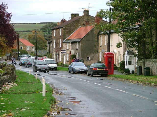
Map of Gilling West, Richmond, UK
History
Gilling was mentioned in the Domesday Book under the name of Ghellinges. Contrary to the now sleepy nature of the village, it was once a place of some importance in the Anglo-Saxon period of British history, in the 7th century it was a seat of the Deira in the southern region of the Anglican kingdom of Northumbria, and from the 9th century, the surrounding area known as Gillingshire was ruled by the Earls of Mercia, specifically Edwin, who was the last of the Earls to have a seat of power at Gilling before the Norman Conquest saw Edwin's lands given to William the Conqueror's kinsman, Alan Rufus. St Agatha's Church in the village features a monument to Rear-Admiral Sir Christopher Cradock, who was born in the parish, at Hartforth. In April 1976 nine-year-old Garry Fridd found a sword in the beck while playing close to the bridge in Gilling. It turned out to be a double-edged, iron-bladed sword with a silver-decorated handle, dating from the 9th century. It is regarded as being amongst the best Anglian weapons ever to be discovered in England. The restored sword is currently in the collection of the Yorkshire Museum in York
Governance
The village lies within the Richmond (Yorks) parliamentary constituency, which has been represented since 1989 by Conservative William Hague. It also lies within the Richmondshire North electoral division of North Yorkshire County Council and the Gilling West ward of Richmondshire District Council.
Geography
Gilling West is located on the B6274 road that links nearby Richmond with the A66 trunk road and eventually continues on to Staindrop in County Durham. Nearby settlements to Gilling include Hartforth 1.1 miles (1.8 km) north-west, Whashton 2.6 miles (4.2 km) to the west, and the market town of Richmond 3.6 miles (5.8 km) to the south. Gilling Beck flows through the village. Further upstream the same watercourse is known as Hartforth Beck as it passes through the settlement of Hartforth, whilst downstream of Gilling West it becomes Skeeby Beck before its ultimate confluence with the River Swale just west of Brompton-on-Swale. The village is also prone to major flooding.
Demography
For the parish of Gilling with Hartforth and Sedbury:
Community and culture
Education for the children of the village is provided by three primary schools in nearby Richmond (CE, Methodist and St Mary's). There was formerly a village school known as Gilling School, built in 1847, but it has since closed and been redeveloped into housing. Pupils receive secondary education at Richmond School & Sixth Form College. The village has two pubs, the Angel Inn and the White Swan, and had a post office/village shop until its closure in 2013.
Religion
The parish church is dedicated to St Agatha. The Domesday Book records a place of worship in the village as far back as 1086; the current building is thought to be the same one mentioned, restored in the 11th century with minor additions in the 14th century and major alterations in 1845.