
Country United States County Sullivan GNIS feature ID 453331 Area 158.2 km² Population 871 (2010) | State Indiana ZIP codes 47838, 47861, 47882 Elevation 143 m Local time Monday 8:10 PM | |
 | ||
Weather 0°C, Wind N at 11 km/h, 95% Humidity | ||
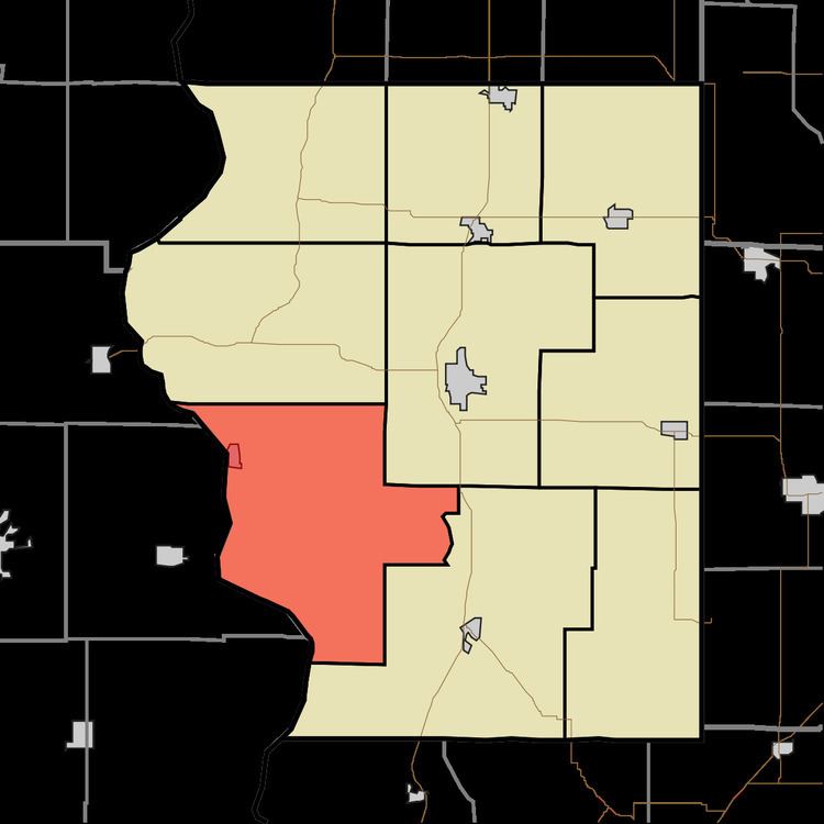
Gill Township is one of nine townships in Sullivan County, Indiana, United States. As of the 2010 census, its population was 871 and it contained 416 housing units.
Contents
- Map of Gill Township IN USA
- Geography
- Cities towns villages
- Unincorporated towns
- Adjacent townships
- Cemeteries
- Airports and landing strips
- School districts
- Political districts
- References
Map of Gill Township, IN, USA
Geography
According to the 2010 census, the township has a total area of 61.08 square miles (158.2 km2), of which 60.11 square miles (155.7 km2) (or 98.41%) is land and 0.97 square miles (2.5 km2) (or 1.59%) is water.
Cities, towns, villages
Unincorporated towns
(This list is based on USGS data and may include former settlements.)
Adjacent townships
Cemeteries
The township contains these eleven cemeteries: Bennett, Burnett, Hollenback, Massey, Milam, Mount Zion, Old French, Parson, Pirtle, South and Webb.
Airports and landing strips
School districts
Political districts
References
Gill Township, Sullivan County, Indiana Wikipedia(Text) CC BY-SA