
Country United States County Schoharie FIPS code 36-28981 Elevation 278 m Population 1,215 (2000) Area code 607 | State New York Time zone Eastern (EST) (UTC-5) GNIS feature ID 0979001 Zip code 12076 Local time Monday 7:11 PM | |
 | ||
Weather -4°C, Wind E at 10 km/h, 34% Humidity Area 153.6 km² (149.7 km² Land / 4.144 km² Water) | ||
Gilboa is a town in Schoharie County, New York, United States. The population was 1,215 at the 2000 census.
Contents
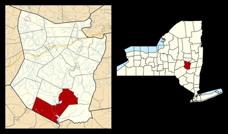
- Map of Gilboa NY 12076 USA
- History
- Fossil Forest
- Geography
- Demographics
- Communities and locations in Gilboa
- References
Map of Gilboa, NY 12076, USA
The Town of Gilboa is in the south part of the county and is southwest of Albany.
History
The town was first settled around 1760.
The Town of Gilboa was formed in 1848 from regions taken from the Towns of Blenheim and Broome. The name "Gilboa" is from Mount Gilboa, a biblical site in Israel, where King Saul's sons were killed by the Philistines, and Saul took his own life (1 Samuel 31:4)
A cotton mill in the community of Gilboa was a major contributor to the early economy of the town, but it was destroyed by a flood in 1869.
In 1926, the Schoharie Creek was dammed to form the Schoharie Reservoir. The original settlement of Gilboa was razed and flooded as part of this project. A new settlement was established north of the reservoir.
Fossil Forest
In 1870, workers blasting a site for a stone quarry found fossilized remains of tree stumps. In 2004, the tops and fronds of the trees were discovered and, in 2007, the fern-like trees, named Wattieza, were pronounced the oldest known trees on earth.
Geography
According to the United States Census Bureau, the town has a total area of 59.3 square miles (154 km2), of which, 57.8 square miles (150 km2) of it is land and 1.6 square miles (4.1 km2) of it (2.63%) is water.
The south town line forms a border with Delaware County and Greene County.
The Schoharie Creek flows northward through the town.
New York State Route 30 is a north-south highway in Gilboa. New York State Route 23 cuts through the southwest corner of the town. New York State Route 990V is a highway running eastward from NY-30 in the southeast part of Gilboa.
Demographics
As of the census of 2000, there were 1,215 persons, 478 households, and 355 families residing in the town. The population density was 21.0 people per square mile (8.1/km²). There were 992 housing units at an average density of 17.2 per square mile (6.6/km²). The racial makeup of the town was 95.80% White, 0.91% African American, 0.25% Native American, 0.82% Asian, 1.23% from other races, and 0.99% from two or more races. Hispanic or Latino of any race were 1.98% of the population.
There were 478 households out of which 31.0% had children under the age of 18 living with them, 60.7% were married couples living together, 9.0% had a female householder with no husband present, and 25.7% were non-families. 20.3% of all households were made up of individuals and 9.8% had someone living alone who was 65 years of age or older. The average household size was 2.54 and the average family size was 2.92.
In the town, the population was spread out with 23.2% under the age of 18, 5.6% from 18 to 24, 24.8% from 25 to 44, 29.9% from 45 to 64, and 16.5% who were 65 years of age or older. The median age was 43 years. For every 100 females there were 94.7 males. For every 100 females age 18 and over, there were 102.8 males.
The median income for a household in the town was $35,156, and the median income for a family was $38,214. Males had a median income of $31,635 versus $25,278 for females. The per capita income for the town was $18,561. About 9.6% of families and 11.9% of the population were below the poverty line, including 11.4% of those under age 18 and 7.4% of those age 65 or over.