
- elevation 19 ft (6 m) | - elevation 10 ft (3 m) | |
 | ||
The Gilbert River is a tributary of the Multnomah Channel on Sauvie Island in the U.S. state of Oregon. About 14 miles (23 km) long, it flows from near the south end of the island into Sturgeon Lake and then north from the lake into the channel, a distributary of the Willamette River.
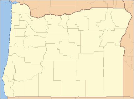
Map of Gilbert River, Oregon, USA
The river loses only 9 feet (3 m) of elevation between source and mouth. It enters the channel about 6 miles (10 km) from its confluence with the Columbia River. Its three named tributaries from source to mouth are Ash, Jack, and Mud sloughs, and it connects by water to a complex of lakes across the island including Steelman, Round, Gay, Racetrack, Malarky, and McNary, as well as Sturgeon.
The river is navigable by canoes and shallow-draft boats between Sturgeon Lake and the mouth. A mooring float with no shore access lies about a quarter mile from the mouth.
The stream was named for a Hudson's Bay Company employee, a French Canadian named Gilbert, said to have drowned in the river. Gilbert was a trapper during the fur-trading era.