
Elevation 6,556 ft (1,998 m) Width 10 mi (16 km) NE-SW | Length 35 mi (56 km) NW-SE Country United States of America | |
 | ||
Peak Slaughter Mountain (Arizona) (center range-(north)) Cities | ||
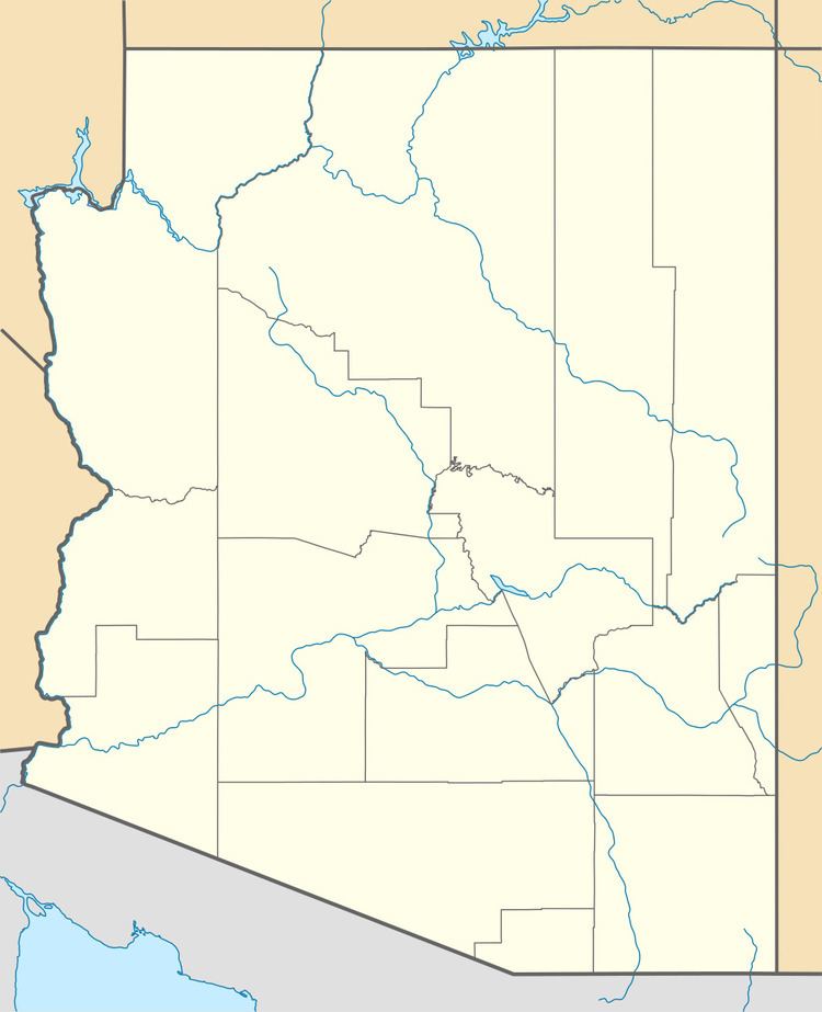
The Gila Mountains of Graham County are a mountain range in central-east Arizona. It borders the Gila River and Gila Valley on the valley's northeast in north-central Graham County; also the San Carlos Indian Reservation. The mountain range sits on the southern perimeter of the White Mountains and is located in the southeast area of Arizona's transition zone.
Map of Gila Mountains, Arizona 85543, USA
The Gila Mountains lie northwest of Safford, Arizona and the Santa Teresa Mountains lie to the southwest across the Gila Valley. The highest point of the Gila Mountains is Slaughter Mountain at 6,556 feet (1,998 m); the Fishhooks Wilderness is located on the northwest end of the mountain range.
The Safford copper mine is located on the south flank of the range.
References
Gila Mountains (Graham County) Wikipedia(Text) CC BY-SA