
Canton Mèze Area 16.56 km² | Region Occitanie Intercommunality Bassin de Thau Local time Monday 10:34 PM | |
 | ||
Weather 13°C, Wind NW at 16 km/h, 75% Humidity | ||
Gigean is a commune in the Hérault département in Occitanie in southern France. .
Contents
Map of Gigean, France
Geography
Gigean is bordered by the Étang de Thau to its west, the Gardiole hills to its south and by a wine growing plain, which runs from the Moure Hills to the edge of Montpellier.
Gigean is 18 km (11 mi) from Montpellier and 14 km (8.7 mi) from Sète.
The A9 autoroute exchange is 2 km (1.2 mi) south, which runs to the A75 33 km (21 mi) away at Clermont-l'Hérault.
The climate is Mediterranean: warm and dry in the sumer, mild in the winter. Autumn is often marked by rain and heavy wind.
Neighboring communes
Poussan, Montbazin, Cournonsec, Fabrègues, Vic-la-Gardiole, Frontignan and Balaruc-le-Vieux.
Population
Its inhabitants are called Gigeannais
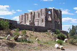
Sights
References
Gigean Wikipedia(Text) CC BY-SA